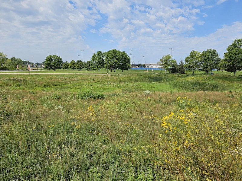
A constructed wetland at Illinois Central College in East Peoria. Photo by Rachel Curry.

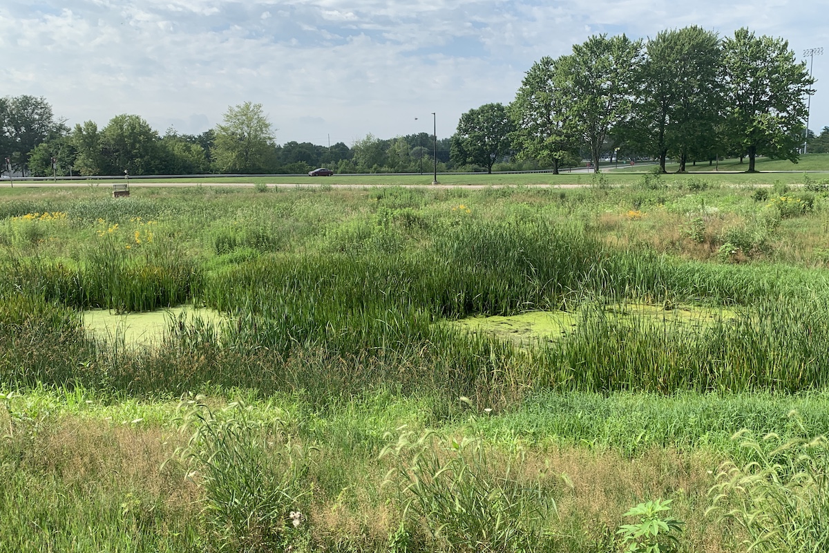
A constructed wetland at Illinois Central College in East Peoria. Photo by Rachel Curry.
Every farmer knows the challenge of managing water and nutrients. Constructed wetlands are a tool that can help protect yields and the environment. Wetlands, as defined by the U.S. Environmental Protection Agency, are areas where water covers the soil or remains at or near the surface year-round or seasonally, including the growing period. These ecosystems take many forms and are shaped by their hydrology, water chemistry, soil type and the vegetation they support. Among the various wetland types, constructed wetlands play an important role in agriculture and have become a recognized edge-of-field conservation practice to improve water quality and provide wildlife habitat.
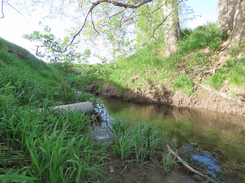
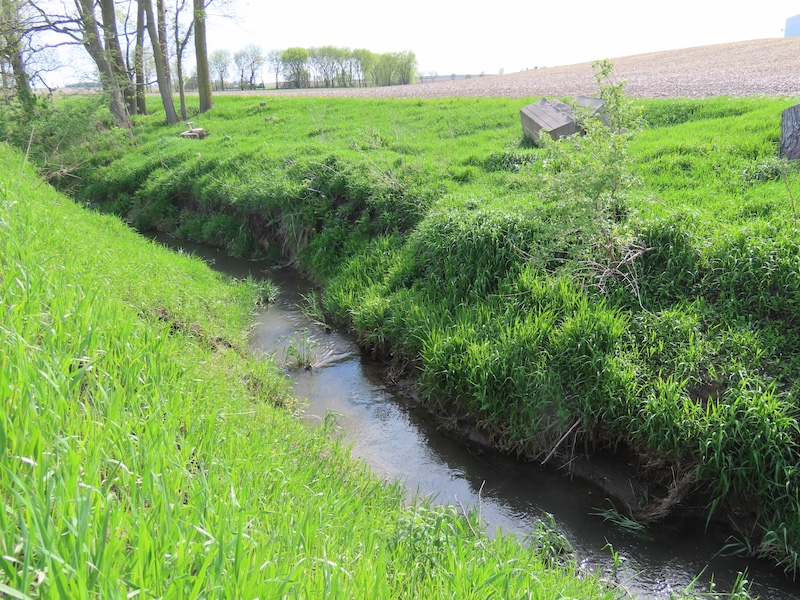
Constructed wetlands are intentionally designed and built to serve a specific purpose, often mimicking the filtration functions of natural wetlands. Unlike restored wetlands, which aim to bring back a wetland that once existed on the landscape, constructed wetlands are entirely new systems designed to treat tile-drained water. Tile drainage is an underground, often perforated, pipe system used to remove excess water from an agricultural field. The Illinois Nutrient Loss Reduction Strategy tracks constructed wetlands as part of monitoring statewide conservation progress.
One of the most valuable services wetlands provide is protecting local water quality. In agricultural settings, constructed wetlands are often located at tile drainage outlets, where they can receive water from agricultural fields ranging from 30 to 200 acres. These wetlands act as natural filtration systems. Water coming from agricultural fields through runoff or tile drainage can have the nutrients nitrogen and phosphorus, which are used in fertilizers necessary for agricultural production. Nitrogen, in the form of nitrate, moves easily in water, which is one of the reasons why agricultural conservation practices, such as constructed wetlands, are recommended to reduce nitrate loss from tile drains. While aquatic plants take up some nitrate, most nitrate removal occurs through microbial processes: bacteria in the wetland convert nitrate into nitrogen gas, a form that is released back into the atmosphere. Well-designed and appropriately sized constructed wetlands can remove at least 50 percent and up to 90 percent of nitrate-nitrogen from tile-drained water — making them one of the most effective edge-of-field practices, according to Water Resources Program Director Jill Kostel with The Wetlands Initiative.
For farmers and landowners, if parts of your field flood year after year and hurt your bottom line, this area might be a good candidate for a wetland. Enrolling these acres in conservation easement programs can turn unproductive land into a long-term conservation asset. The USDA Natural Resources Conservation Service offers conservation easements programs to support wetland restoration, which may be a good fit for agricultural land that is often flooded. The program offers a payment opportunity in addition to the naturally occurring benefits associated with wetlands. Other cost-share programs, offered by government and non-government organizations, are available to help offset installation costs. These programs enable landowners to install a constructed wetland economically while providing ongoing environmental benefits, including reduced nutrient levels and improved wildlife habitat.
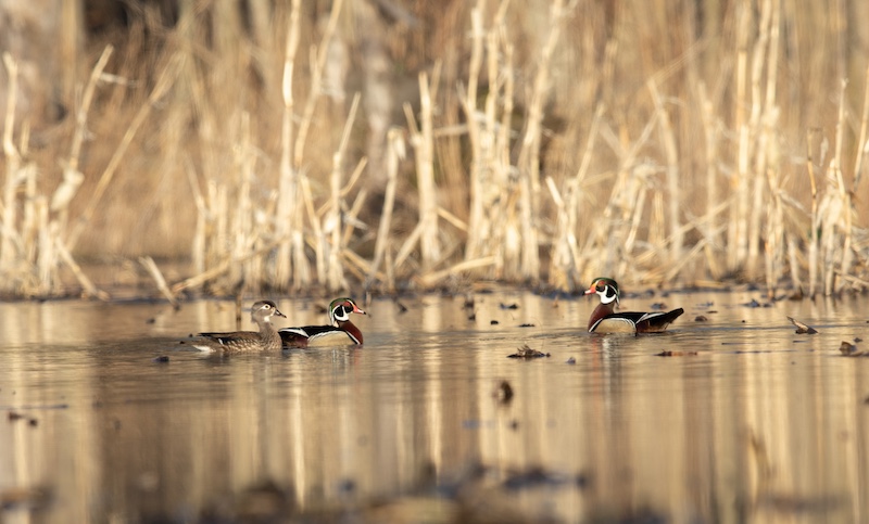
Beyond water quality improvements, wetlands offer critical ecological value. They support a wide range of wildlife and pollinators, contributing to greater biodiversity across the landscape. Wetlands also create opportunities for recreation and outdoor enjoyment, allowing visitors to observe wildlife, engage in nature-based activities and gain a deeper appreciation for wetland ecosystems.
Farmers and landowners who install constructed wetlands note that pollinators and wildlife, such as monarch butterflies, often return to these areas surprisingly quickly, adding additional value to the landscape.
Installing a constructed wetland requires careful planning and consideration. The practice may remove some land from production, and potential sites must meet specific technical criteria related to hydrology and soils. The initial establishment period can also take time as wetland vegetation becomes rooted and functional. Despite this, constructed wetlands generally require minimal maintenance once established.
Interest in wetlands extends beyond agriculture. Many public and private organizations in Illinois are involved in and partner on constructed wetland projects, including The Nature Conservancy, the Wetlands Initiative, Pheasants Forever and Ducks Unlimited. Some advocacy organizations view agricultural conservation practices as a practical opportunity for collaboration between agricultural producers and point-source facilities. A point source is any site of discharge into a waterway, including wastewater treatment plants. For example, the Sierra Club’s Illinois Chapter considers constructed wetlands a cost-effective strategy for both farmers and municipal facilities working to meet nutrient reduction goals outlined in local Nutrient Assessment and Reduction Plans. By diverting and treating water through shared wetland systems, wastewater treatment plants can reduce costs and farmers gain a conservation practice that enhances their land.
Find more information about how constructed wetlands may fit into your conservation plan on the Illinois Nutrient Loss Reduction Strategy Podcast. Episodes 69 to 72 cover installation insights, easement programs, and farmer experiences. For additional information, contact Rachel Curry at rccurry@illinois.edu.
The Illinois Nutrient Loss Reduction Strategy guides state efforts to improve water quality at home and downstream by reducing nitrogen and phosphorus levels in our lakes, streams and rivers. The strategy outlines a comprehensive suite of best management practices for reducing nutrient loads from wastewater treatment plants and urban and agricultural runoff. Recommended activities target the state’s most critical watersheds and are based on the latest science and best-available technology. It also calls for more collaboration between state and federal agencies, cities, non-profits, and technical experts on issues such as water quality monitoring, funding and outreach.
Rachel Curry is a University of Illinois Extension Agricultural and Agribusiness Educator and is part of Illinois Extension’s Nutrient Loss Reduction Strategy, NLRS, implementation team. Rachel grew up in Knox County and earned a B.A. in Environmental Studies from Knox College and an M.S. in Soil Science and Environmental Science from Iowa State University. She has a strong background in agricultural research and agricultural conservation education. Curry provides educational programming, outreach, and expertise to stakeholders throughout the state on watershed planning and best management practices to reduce nutrient loss.





Submit a question for the author
Question: I live on 1.76 acres in Pontoon Beach, IL. At one time my grandparents used this land to grow community crop yields. I’m interested in learning about opportunities or programs to help me utilize the already marshy, naturally wooded, partial prairie land and create small sustainable growth.
The may 16th 2025 tornado did extensive damage to my home and properties. The vines have taken over since then. I’m raising kids on my own. Their father passed when we moved into our primary residence.
I want to restore, protect, and use the land to benefit my family and my community. Especially since our mayor has begun industrializing. It’s poisoning not only the land but the once lush tight knit culture we once boasted. Please contact me at our earliest convenience.