
All photos by the author.


All photos by the author.
Anyone lucky enough to stumble upon a forested ephemeral wetland can tell you there is an element of magic in these pools. A small, temporary wet spot roiling with life in a still, quiet forest feels alchemical. Though these wetlands are common throughout the eastern deciduous forests of the United States and play a vital role in the life cycle of many native species, they largely escape notice. Yet, thanks to modern technologies, we are learning more about where these wetlands are located and the impacts they have on organisms that depend on them.

Forested ephemeral wetlands are small, temporary pools materializing in the wake of melting winter snow and early spring rains which persist through spring and summer before drying in late summer or early fall. Their small size and fleeting nature keep out efficient aquatic predators, such as fish, that typically inhabit larger bodies of water. The absence of apex predators in these pools contributes to the astonishing density of life that they support, by allowing creatures adapted to thrive in ephemeral wetlands to reproduce and mature in an environment with reduced predatory pressure.
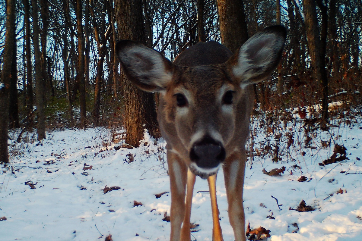
Many taxa depend on forested ephemeral wetlands to complete all or part of their life cycle. In Illinois, perhaps the most easily recognizable group of forested ephemeral wetland specialists is wetland-breeding amphibians. Of this group, forested ephemeral wetlands typically support one or more species of the following taxa: mole salamanders (of the genus Ambystoma), chorus frogs (of the genus Pseudacris; especially the spring peeper, P. crucifer), true frogs (of the genus Rana) and tree frogs (of the genus Hyla). Many of these specialists spend the majority of their lives in the terrestrial upland habitat surrounding forested ephemeral wetlands but return annually to breed and lay their eggs in these wetlands.

Beyond facilitating amphibian reproduction, forested ephemeral wetlands provide remarkably impactful ecosystem services despite their small size and impermanence. For instance, microbes sustained by these pools accelerate the decomposition of leaf litter relative to the dry forest floor, significantly increasing nutrient availability. In turn, nitrogen, phosphorus, carbon and other nutrients deposited into wetlands by breeding amphibians are returned to adjacent upland habitats up to eight-fold in metamorphosed recruits. Simply put, the presence of water in a forest creates conditions which can unleash previously unavailable energy and nutrients, another miraculous attribute of these wetlands. However, the temporary nature, small size, and forested surroundings that make these wetlands so vital, also make them difficult to detect.
The most widely available and commonly used wetland mapping layer available in the United States is the National Wetlands Inventory (NWI), which maps the wetland resources of the contiguous United States. The inventory is an impressive feat given its nationwide scale, origins in the 1970s, and its creation through manually interpreted aerial imagery. However, the NWI has limitations, especially in contemporary applications.
One of the most significant challenges with NWI is the age of the imagery used for wetland mapping. In Illinois, for instance, the average age of imagery used for NWI mapping is 40 years old. A significant proportion of wetlands have been lost or reshuffled over the past 40 years to the point where, in some regions of Illinois, less than half of the wetlands are correctly identified. Moreover, the presence of forest canopies complicates wetland detection using NWI methods, leading to higher error rates in forested landscapes. Specific to the detection of forested ephemeral wetlands, the resolution of the NWI imagery often falls short, with a minimum detectable wetland size of 1 acre. While some regions have been updated using imagery capable of detecting wetlands >0.1 acres, most forested ephemeral wetlands remain undetected. These shortcomings have spurred a search for alternative detection methods for forested ephemeral wetlands.

Enter lidar, a remote sensing technique that employs laser pulses to construct a highly accurate, three-dimensional model of the Earth’s surface. Where radar uses sound and the speed of the returning signal, lidar uses laser pulses and the time it takes for the reflected laser pulse to return to the lidar sensor. The result is a cloud of points that have highly accurate geographic and elevation data. Unlike passive methods, such as aerial imagery which detect an external signal (e.g., sunlight reflected off the earth’s surface), lidar actively generates the signal, rendering it less susceptible to obstructions caused by tree canopies and lighting conditions. Another major feature of lidar is its near universal availability throughout the eastern United States at no charge through a federal program.
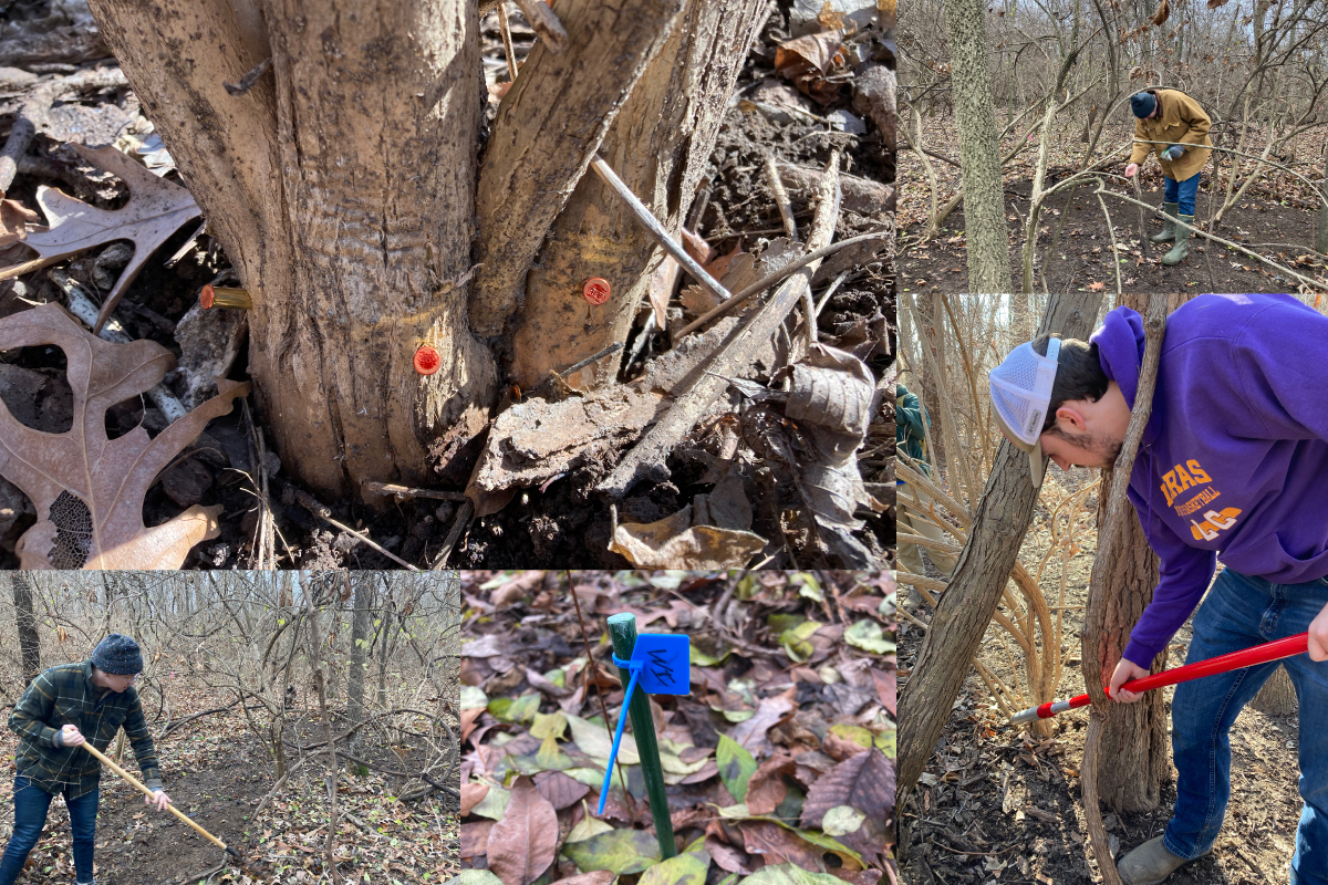
Using publicly available lidar data, I have been working with collaborators at the Illinois Natural History Survey and National Great Rivers Research and Education Center to develop two methods for forested ephemeral wetlands visualization and detection. First, we use the raw lidar point cloud data to create a highly accurate elevational map to plot basins where water can collect. Additionally, lidar points often have a measure of the strength, or intensity, of the returning laser pulse, which is scattered and absorbed by water. A map of the lidar intensity can then be created, which is very low in areas with standing water. When combined, these two mapping methods enable us to effectively detect forested ephemeral wetlands using freely available data and software. Fortunately, we have full lidar coverage for the state of Illinois, providing the raw data for statewide forested ephemeral wetlands detection.

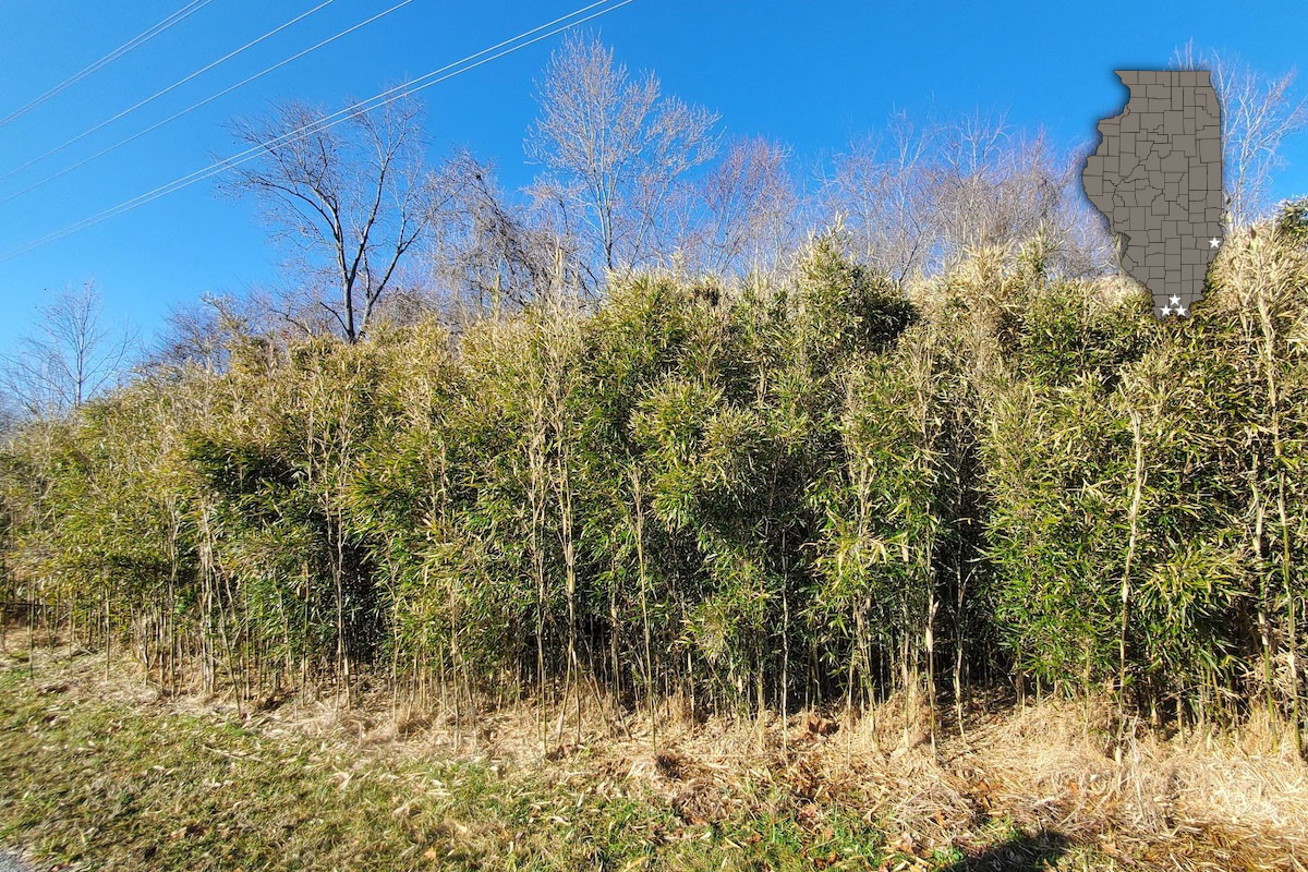
In 2020 we began a United States Environmental Protection Agency-funded project using lidar-based methods to identify ephemeral wetlands throughout public lands in southern Illinois. Within our 16-county study area (see map), we have detected more than 4,000 potential forested ephemeral wetlands and have ground-truthed 400-plus sites to date. Results are encouraging so far, with a 3.2 percent false-positive error rate (i.e., a wetland was detected but was not present). Efforts will be expanded in the coming years, capitalizing on the full power of lidar data to deepen our understanding of the distribution and ecology of these unique waterbodies, bolstering their conservation and ensuring they remain an enduring source of wonder on the Illinois landscape.
Ethan Kessler is a quantitative ecologist with the Illinois Natural History Survey at the University of Illinois and the National Great Rivers Research and Education Center. His research is largely focused on the ecology and conservation of reptiles and amphibians, and he has spent the better part of the last decade working on ephemeral wetlands in Illinois.


Submit a question for the author
Question: i’m curious what the statistical features of the wetlands are (average size, and variation about the mean).
Our foreman Kentucky has a 3 acre Vernal wetland, Melvin soil. I’ve tried unsuccessfully to enroll it in the wetland protection easement program through theNRCS but I am told that the size is too small. I have been under the impression that it was quite large for that type of feature., and it seems to me that very few femoral pools will be protected with that mechanism if size is the only consideration.
I’ve been astounded by the amount of life that orbits this feature. I think of it as a black hole, in the way that it attracts everything within 100 acres it seems at least. I’ve been able to watch it. Go from the grassland to more of a wild area., and after 15 or 16 years in succession, we have still not reached the peak of ecological imprint.
I enjoyed reading about your research and I’ll try to find more article articles as well and keep up.