
Muskrat swimming in a wetland. Photo by Mike Budd, USFWS.


Muskrat swimming in a wetland. Photo by Mike Budd, USFWS.
Imagine being able see a living atlas of all the wild species in Illinois. From Chicago’s lakefront towers to the Shawnee hills, every bird, beetle, and weed emerging from cracks in the sidewalk pops into view at once. This map you would see of the state would focus not on counties and highways like most maps, but instead on the living, shifting mass of wings, leaves and paws. That almost inconceivable map is exactly what iNaturalist is moving us toward—using one photo from one curious person at a time.
iNaturalist is a free app that quickly and quietly turns your smartphone into a tool for science. Imagine yourself walking your dog in Bloomington, biking along the Chicago River, hiking a trail in Starved Rock, or waiting for a train in Joliet, when something catches your eye. It could be a mushroom nestled on a stump, a dragonfly gliding over a ditch or a vine climbing a light pole. You take a photo, upload it, give your best guess as to what it is and CLICK. In that moment you’ve created valuable data that can be used by scientists in Illinois and around the globe to track the distribution of the species.
Every iNaturalist observation has four simple pieces: what you saw, where you saw it, when you saw it and who helped confirm what it was. The most important aspect is likely the “What.” When adding an observation, you can add an identification from as broad as “plant” or “tree” to as fine as “Northern red oak.” The great thing about iNaturalist is that other users jump in and help you with identification. A botanist in Urbana suggests a species. A naturalist in DuPage County agrees. Someone in Carbondale disagrees and explains why. Slowly, or quickly the most accurate identification for your observation comes into focus.
You don’t even have to worry about the “Where” and “When.” The “Where” is suggested automatically from your phone’s GPS, while the “When” is taken from the metadata of the date and time of the photograph. “Who” is the string of people who later added or confirmed identifications. From a scientist’s point of view, these pieces of information are the cream of the crop. “This species was here on this date” is exactly the kind of information you can put on a map and compare across years to assess how distributions are changing.
Of course, the raw flow of observations can often get messy. People upload photos of their pets or an animal in the zoo, take photos so blurry you can barely tell plant from pavement, or misidentify a common house sparrow as a rare finch from Tibet. No researcher wants to wade into that chaos, so iNaturalist leans on community review. An observation only becomes “research grade” when it has a date, a location, some kind of evidence, and the community converges on an ID.
Maybe you add an identification of “butterflies and moths” for a butterfly you saw on a flower while visiting a prairie remnant in the Kankakee Sands. Someone narrows it to a genus. A local expert notices the unique wing pattern and proposes the species. A few others chime in agreeing. Once two thirds of independent users support the same ID, the record becomes “research grade.” Many observations never get that far, and that’s okay. Some stay at “tree” rather than “northern red oak.” The goal isn’t a flawless, polished database. It’s about amassing a large and honest one that constantly evolving as the iNaturalist community learns and continues to share their observations.
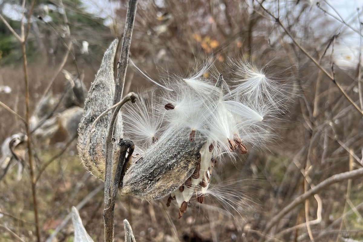
When you observation reaches research grade is that it doesn’t just sit on iNaturalist. Behind the scenes, research grade observations get shared with the Global Biodiversity Information Facility (known as GBIF among scientists)—a worldwide clearinghouse of species records used by scientists, agencies and conservation groups. That means your photo of a milkweed in a tiny Naperville park might end up in the same dataset as a pressed specimen collected near Joliet in 1910. Your salamander from a wading in Rock River might sit next to formal survey data from state biologists. This giant GBIF database is often what researchers query when they ask, “Where has this species been seen?” and “How is that changing?”
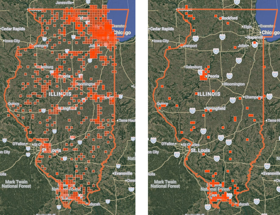
The important point is that distributions of animals are not as static as the maps provided in our field guides would have us believe. These maps might shade Illinois a solid color suggesting that a species of bird or plant is found everywhere. However, reality is more textured. Within that shaded area, some species cling to river floodplains, others avoid row crops, some flourish in Chicago’s city trees and cemetery oaks. Traditional monitoring can pick up some of these changes, but those programs require steady funding and staff. iNaturalist doesn’t replace them, but helps us better understand their texture by adding a flexible layer on top.
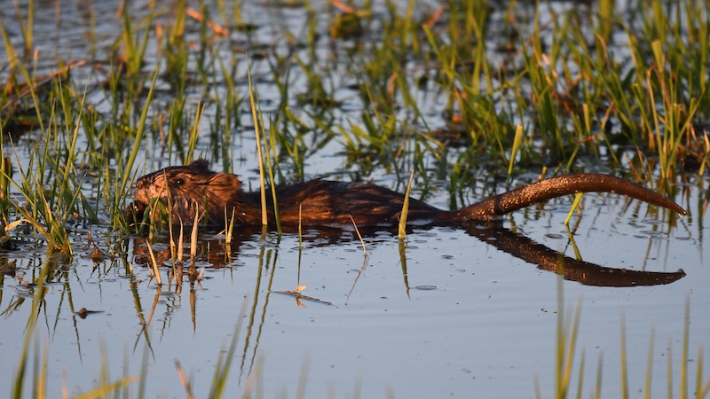
Most observations work their way through the identification process and quickly end up at a community consensus. But some take longer than others, while others take on a life of their own. The best example of this is an observation of a muskrat that is affectionately known as Gerald. Gerald was initially misidentified as from the beaver family (Castoridae), then misidentified as a woodchuck (Marmota monax), before eventually being correctly identified as a muskrat (Ondatra zibethicus). This was not a simple process and took dozens of identifications to reach a consensus, however, we now feel certain about Gerald’s identity thanks to the thousands of people who contributed. This one observation has also likely helped many people learn to identify these rodents correctly.
Gerald is an extreme example. While iNaturalist is not perfect, rest easy knowing that most research-grade iNaturalist records are accurate. Errors typically cluster in groups that are tricky to identify, including tiny insects, hard-to-separate plant genera, and organisms that need a microscope or genetic test to distinguish. Or there can be outliers—those single strange dots far outside the “known” range, that we can then scrutinize in more detail.
The end result is that scientists now treat iNaturalist as a powerful, imperfect instrument. It is not a replacement for boots-on-the-ground surveys. But it is also not data to ignore. It is a dense, living layer of information that, used carefully, can significantly sharpen our picture of where life exists in Illinois and how it’s shifting. The biases in where people go and what they point their cameras at are real, but they’re not invisible and there are ways to account for them.
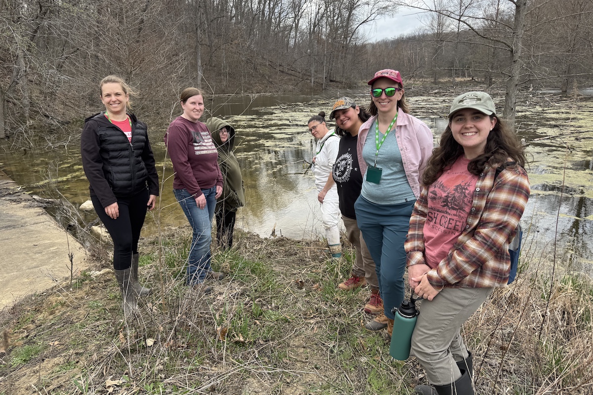
The exciting part to me is that this instrument only works because people keep feeding it. And you don’t have to wait for a special event—you can start this week. If you haven’t already, you can download the iNaturalist app, or create an account online. Then grab your phone or camera and head outside. Wild things can be found around every corned. So visit a place you already frequent, like your block, your favorite forest preserve, the retention pond behind the strip mall, or the park where your children play soccer. Or take this as an opportunity to visit a new place that you have always wanted to go. Next, find something wild—not pets or houseplants, but something that is growing, crawling or flying. Get as close as you reasonably can and try to snap a clear photo, hit upload it, and ID it as accurately as you can. Then watch what happens over the next few days as others—some just as new as you, some serious experts—pop up in your notifications, trying to help you name your world. When you use iNaturalist in Illinois, you’re helping build the living atlas that scientists, land managers and your neighbors will use to decide how we care for this place in the years ahead.
Max Allen is a mammal ecologist at the Illinois Natural History Survey. He received his Ph.D. from Victoria University and studies carnivore ecology.


Submit a question for the author