
Wilson’s phalaropes and lesser yellowlegs in-flight during migration at Guzy Land and Water Reserve. Photo by Tyler Funk


Wilson’s phalaropes and lesser yellowlegs in-flight during migration at Guzy Land and Water Reserve. Photo by Tyler Funk
In 1993, Margaret Guzy walked through the doors of the Charleston Illinois Department of Natural Resources (IDNR) office, put her purse on the counter and said “I want to give you some land.” To everybody’s surprise, it was 159 acres of flat, black agricultural land in Shelby County. The property was officially willed to IDNR on January 14, 1994. In her will, she stipulated the property was to be held by the State of Illinois in perpetuity as a wildlife sanctuary. This land became the Margaret Guzy Pothole Wetland Land and Water Reserve (Guzy LWR) named in the honor of this bold, direct woman.
The Margaret Guzy Land and Water Reserve is a satellite of Shelbyville State Fish and Wildlife Area and located along Route 128 in Shelby County, approximately 3 miles northwest of Findlay. The site’s primary purpose is to provide habitat for breeding and migrating grassland and wetland bird species.
The April 1821 Public Land Survey called the site that Guzy eventually would own “level to rolling first and second rate prairie.” Prior to European settlement the black fertile soils of the “first and second rate prairie” were dominant across much of the flat prairies in central Illinois. After settlement, it was quickly converted to highly productive agricultural land. With the conversion of the prairie pothole habitat to row crop agriculture the valuable breeding and migration habitats that grassland birds, waterfowl and shorebirds depended on was lost.

Retired IDNR district biologists Paul Brewer and Robert Szafoni were instrumental in developing the site. They walked the site, observing the ponding water and the hydric soils, checked topographic maps and old aerial photographs, and decided the site would once again become a shallow marsh-wet prairie complex. Thirty-seven acres of wet-mesic prairie was planted in the spring of 1994. A contractor was hired to lightly scrape out the silted depressions, following the contours to reshape the wetlands to their original dimensions. Levees 18-24 inches high were constructed, not for holding water but to hold water off of neighboring land. Two smaller depressions were scraped in the winter of 1998. In each subsequent year, an additional 20 acres of prairie were planted until the project was completed in 2001. Today, site consists of 159 acres of wet, wet-mesic and mesic prairie interspersed with 30-40 acres of open water wetlands.
Over the past 15 years the site has been managed with prescribed fire across three units. Dormant season prescribed fires are used from October to April before the nesting season. Growing season prescribed burns, conducted between July and the end of September, are utilized to stress the grass plants while seed heads are developing and nutrients in the roots are the lowest to reduce biomass from grass clumps and encourage growth of forbs. The patchiness of a growing season burn also provides refugia for insects and wildlife.

Water levels are actively monitored and manipulated throughout the year to provide habitat for shorebirds migrating from their wintering grounds in Central and South America to their breeding grounds in the Arctic tundra, and back again. The goal is to create a band of mudflats between the standing water and wetland vegetation. Shorebirds are finicky birds; some will forage on mudflats, while others prefer shallow water.

Unfortunately, the moist soil conditions between standing water and prairie are ideal locations for cottonwood and willow seedlings to become established. To keep the prairie aspect and open horizon of the site, woody vegetation control must be continually performed. Historically, control was achieved through more regular intervals of fire than can be currently performed.
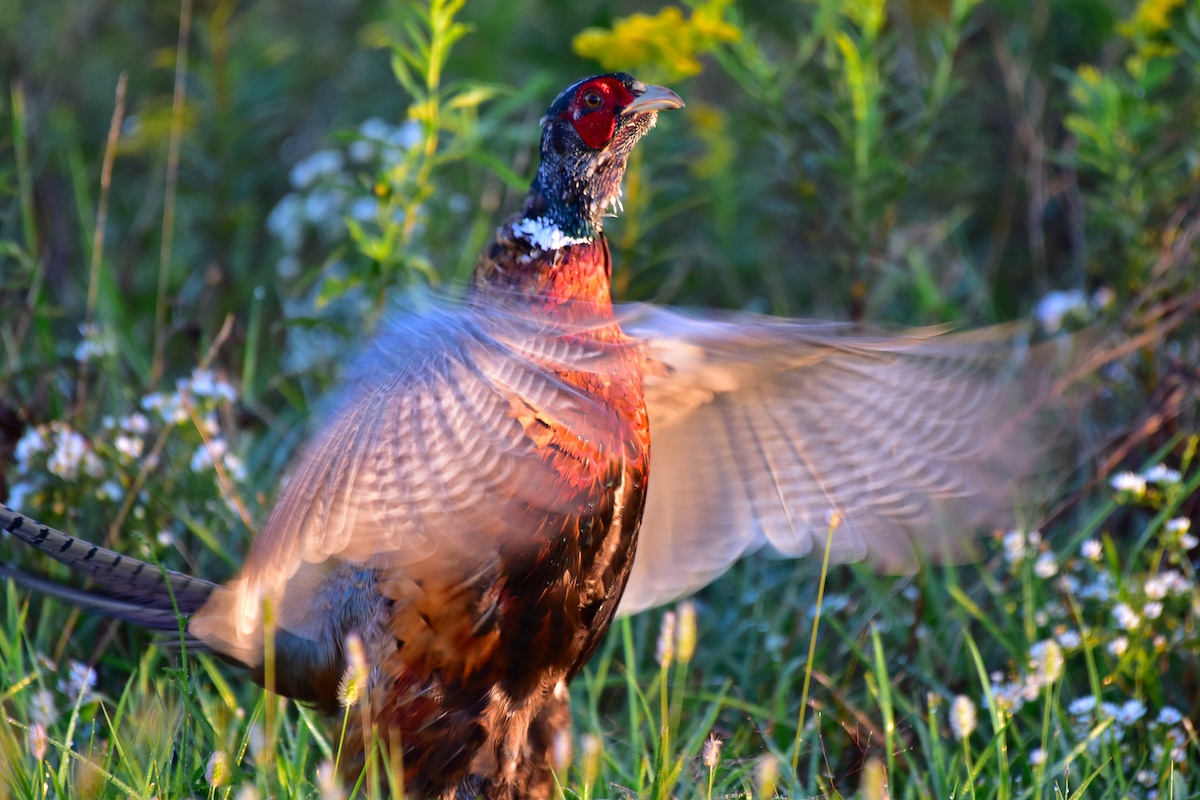
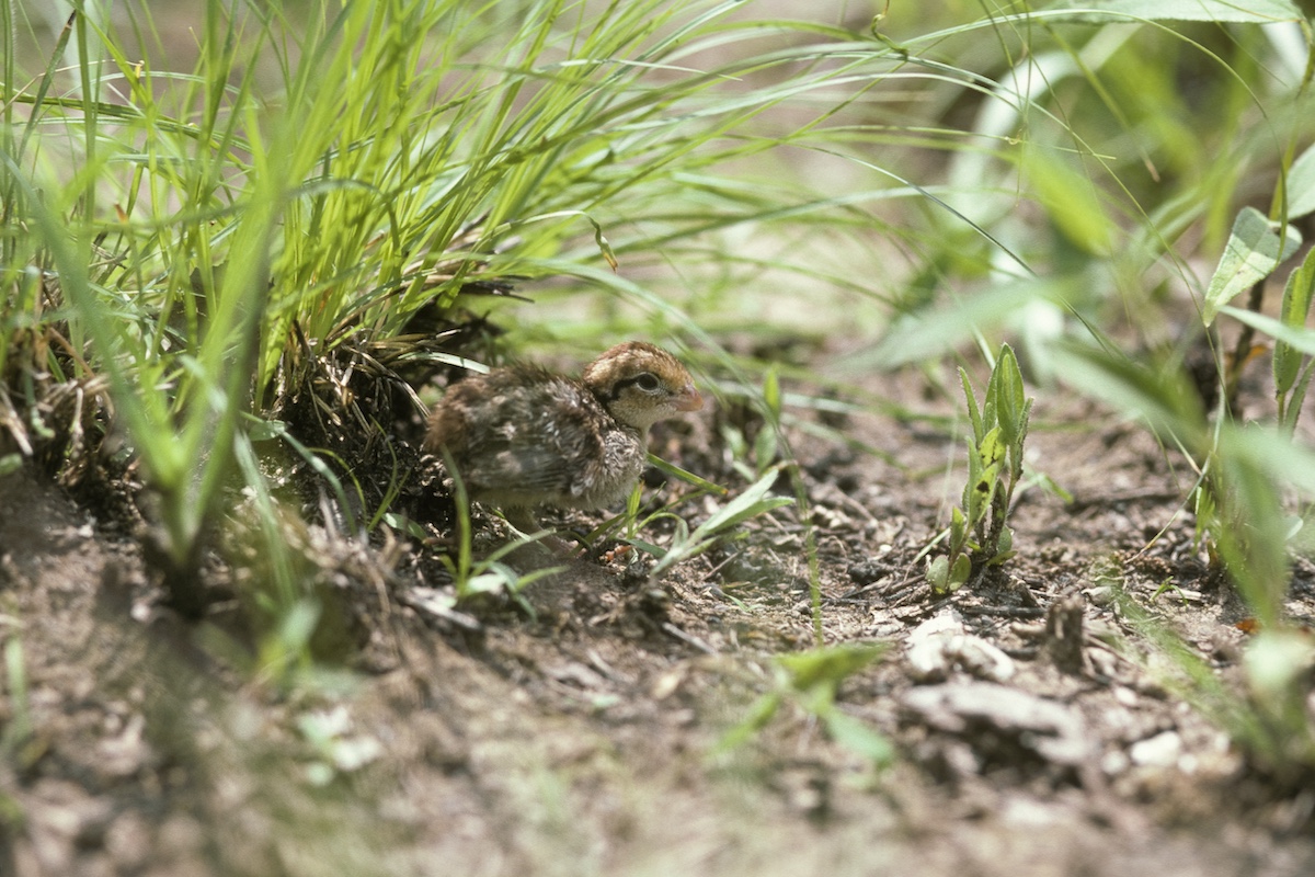
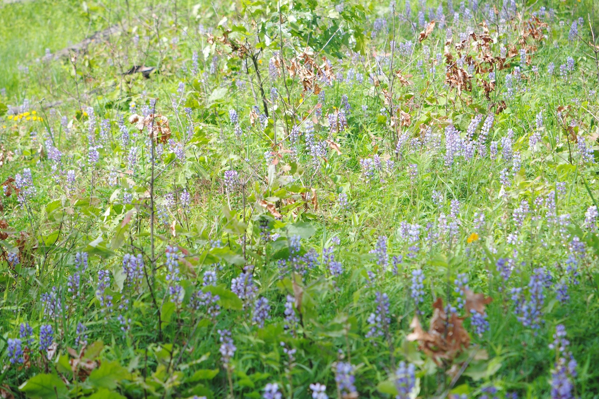
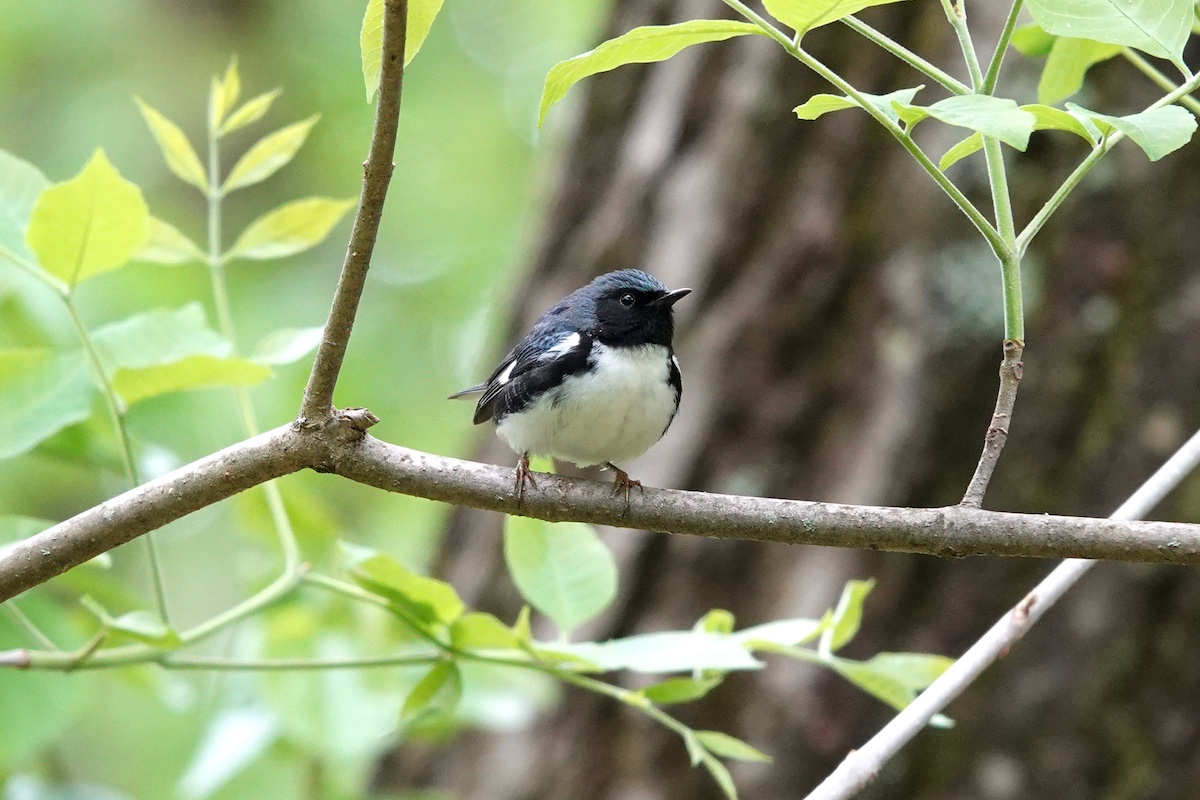
Wildlife have positively responded to the planning, planting and management of the site. Several Species in Greatest Conservation Need (SGCN), according to the Illinois Wildlife Action Plan, are common breeders each summer, including the eastern meadowlark, dickcissel, grasshopper sparrow, Henslow’s sparrow, field sparrow and ring-necked pheasant. All totaled 77 grassland- and wetland-dependent bird species have been documented on the site.
The site also has become an important refuge for waterfowl during the fall and winter.

Peak numbers of waterfowl at the site include 5,000 snow geese, 2,000 Canada geese, 1,000 blue-winged teal, 1,000 green-winged teal, 1,000 northern pintail, 500 American widgeon, and 100 to 300 black ducks, wood ducks, ring-necked ducks, lesser scaups and northern shovelers.
Today, what a few years ago was an open, black-soil agricultural field provides habitat for a host of wetland-dependent wildlife, and has become an excellent area for birdwatching, photography, nature education and research.
Roger Jansen is an IDNR Natural Heritage Biologist based in the Charleston office.


Submit a question for the author
Question: What is the point if not accessible to the public? Seems to me it is a waste, there could be a trail loop so people could enjoy bird watching or walking their dog. Instead it sits wasted.