CREP is Back

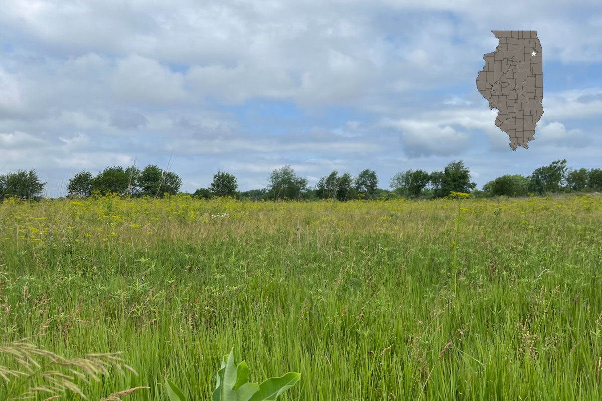
Tall grasses and trees are interspersed in a wetland on a sunny afternoon. In the background is a tall grassy shoreline and a partly cloudy sky.

Photo courtesy of the Illinois Department of Natural Resources.

On June 15, 2022, the Conservation Reserve Enhancement Program (CREP) reopened to enrollment.
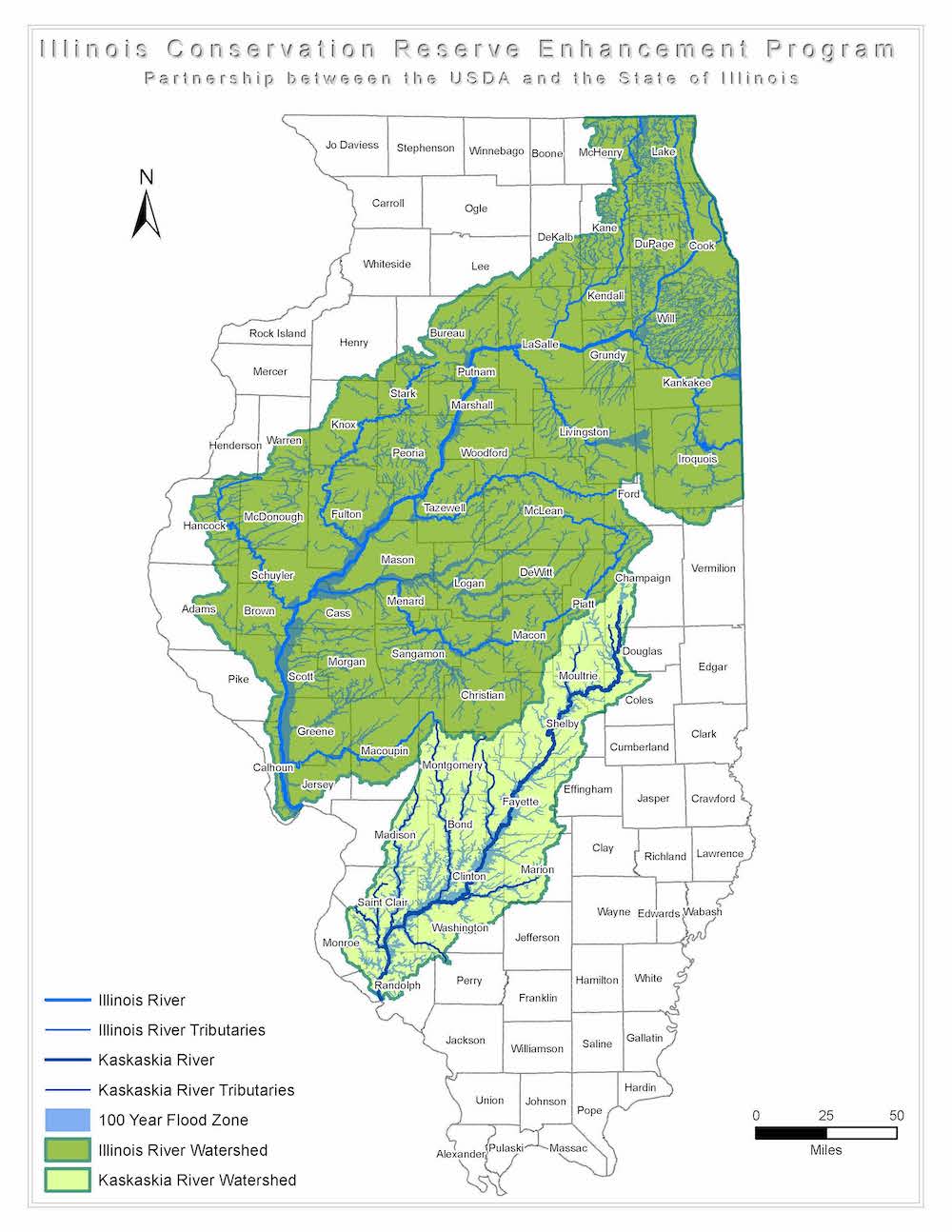
A map of Illinois with the top right to the bottom left area colored in green and the rivers in blue indicating land eligible for the Illinois Conservation Reserve Enhancement Program Partnership between the USDA and the State of Illinois.

For more than 20 years, CREP has been a successful partnership between the U.S. Department of Agriculture (USDA), Farm Service Agency (FSA), the Illinois Department of Natural Resources (IDNR) and the local Soil and Water Conservation Districts (SWCDs). As a subprogram to USDA’s widely popular Conservation Reserve Program (CRP), CREP provides long-term environmental benefits by allowing up to 232,000 acres of eligible environmentally sensitive lands within the Illinois River and Kaskaskia River watersheds to be restored, enhanced, and protected over periods ranging from 15 years to perpetuity.

Illinois CREP was created through an agreement between USDA/FSA and the State of Illinois in March of 1998. In 2015, the Illinois CREP program was placed under suspension due to the lack of a state budget. After CREP funding was reinstated in 2017, IDNR and FSA began the long process to restart the program. IDNR began hiring new CREP staff and re-negotiating the FSA/IDNR CREP agreement. IDNR also worked with SWCDs to develop new agreements and contracts, and recently hired a team of specialists to work directly with landowners. The amended CREP agreement was executed in 2021 and IDNR Director Colleen Callahan reopened the program on June 15, 2022. State funding for the program is provided through Governor JB Pritzker’s Rebuild Illinois capital program.

A graphic with a photo on the top left and bottom right and text on the top right and bottom left. The photo on the top left is of a field of prairie wildflowers, and in the background is a woodland edge against a partly cloudy sky. The photo on the bottom right is of a group of tan deer and black wild turkeys in between an agricultural field after harvest and a field of tall tan prairie grasses.
Top left photo by Anne Hughes. Bottom right photo courtesy of Illinois Department of Natural Resources.

In CREP, landowners enroll frequently flooded and environmentally sensitive cropland in a federal CREP/CRP contract with FSA. IDNR extends the environmental benefits of that federal contract by enrolling the land into an Illinois CREP grant of conservation right and easement agreement (easement) for 15 years or in perpetuity beyond the expiration of the federal CREP/CRP contract. In exchange for voluntarily removing land from production, landowners receive compensation to implement conservation practices.

The goals of CREP are to reduce sediment and nutrient runoff, improve water quality, and create and enhance critical habitat for fish and wildlife populations on private lands. As one of the oldest and most popular CREP programs in the nation, the CREP partnership has achieved restoration and long-term protection on more than 90,000 acres in conservation easements. With more than 90 percent of land in Illinois privately owned, programs such as CREP are essential to provide private landowners with opportunities to implement sound conservation practices on their own land.

A graphic with a photo on the left and text on the right. The photo is of a gray, brown, and white speckled sandpiper shorebird wading in a wetland with a tadpole in its long slender beak.
Photo by Michael R. Jeffords.

Interested farmers, ranchers and agricultural landowners are encouraged to contact the Illinois Department of Natural Resources, Farm Service Agency or their local Soil and Water Conservation District for more information about enrolling in Illinois CREP.

Written with contributions by the CREP Conservation Resource Specialists.


Michelle Bloomquist is the Manager of the Conservation Reserve Enhancement Program at the Illinois Department of Natural Resources.

Justin Ramey is a Private Lands Ecologist at the Illinois Department of Natural Resources.

Chris Young is Director of the Illinois Department of Natural Resources’ Office of Resource Conservation.


Share this Article

Submit a question for the author

Please complete the verification below to submit your question:


Explore Our Family of Websites

Similar Reads


Beautiful yellow daisy-like prairie flowers surround a field of solar panels. A bright blue sky is overhead.

Solar Installation Can Provide Meaningful Habitat


A large tree stands in a grassland in early spring. A bright partly cloudy sky is overhead. In the distance are bluffs covered in woodlands.

Beneath the Boughs of a Witness Tree


A raccoon peaks over a bag of trash in a rusted dumpster.

The Perks of Not Feeding Wildlife


A hunter wearing camouflage gear kneels on the forest floor. A successfully harvest wild turkey rests in front of the hunter. Its tail feathers are spread out in a fan shape in front of the hunter. In the background a road cuts through a woodland full of pine trees.

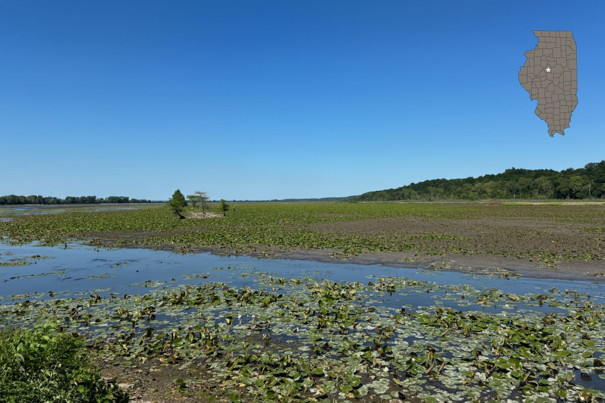
A flat mostly dry wetland covered in lily pads fills a landscape scene. Trees fill a shoreline in the distance and create a horizon line. Overhead is a crystal clear bright blue sky. A gray map of the state of Illinois with the counties outlined in black overlaps the image in the top right corner. A white star highlights Tazewell County in middle, top of central Illinois.

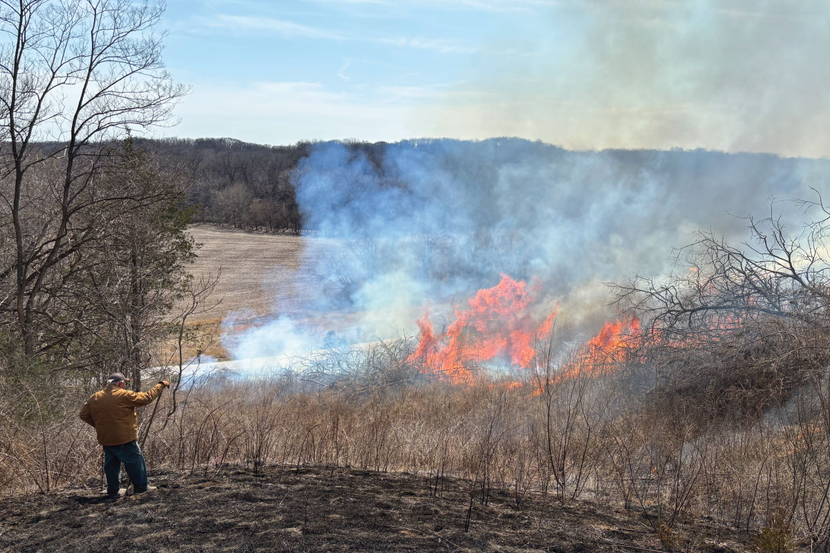
An individual wearing a yellow flame resistant jacket stands on a hill where a prescribed burn was recently conducted overlooking a brushy valley. In the distance the fire is burning amongst the brush along a country road. An agricultural field is in the background with a horizon line of trees against a bright blue partly cloudy sky.

Putting Fire on the Ground in Illinois


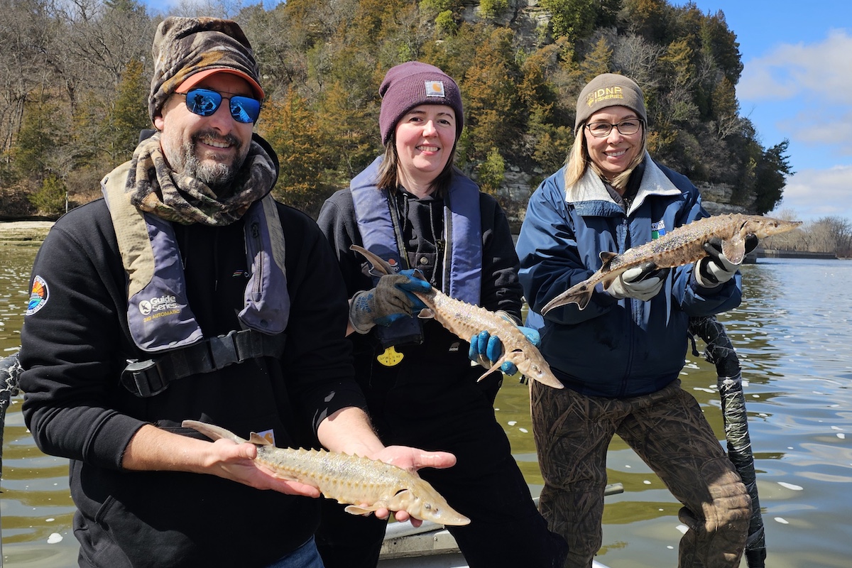
Three people in cool weather gear stand on a boat on a river while each one holds a tan fish with a snout and forked tail fins. In the background is a limestone bluff rising above the river. Woodland fills the shoreline below the bluff.

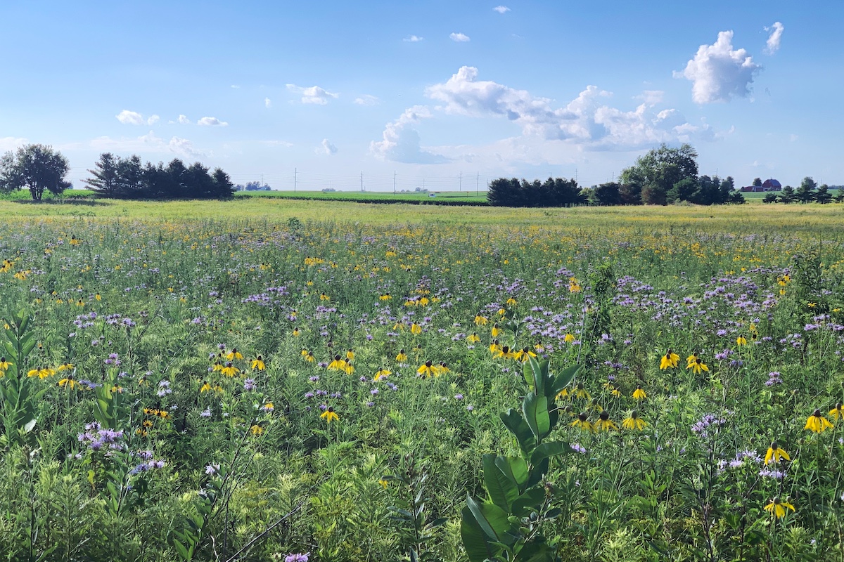
A prairie fills a large acreage with many purple and yellow flowers interspersed throughout. In the background are a few groupings of trees along the border of the prairie and a green cornfield beyond. Overhead is a bright blue partly cloudy sky.

Boring to Bountiful


A gray hawk soars through a bright blue sky.

Rock River Peregrines Take Flight


A partly cloudy sky is above a grassland with a line of trees on the horizon line. Overlaying the landscape to the top right is a gray map of Illinois with the counties outlined in black. A white star in the north east corner indicates Will county.

Midewin National Tallgrass Prairie Turns 30