
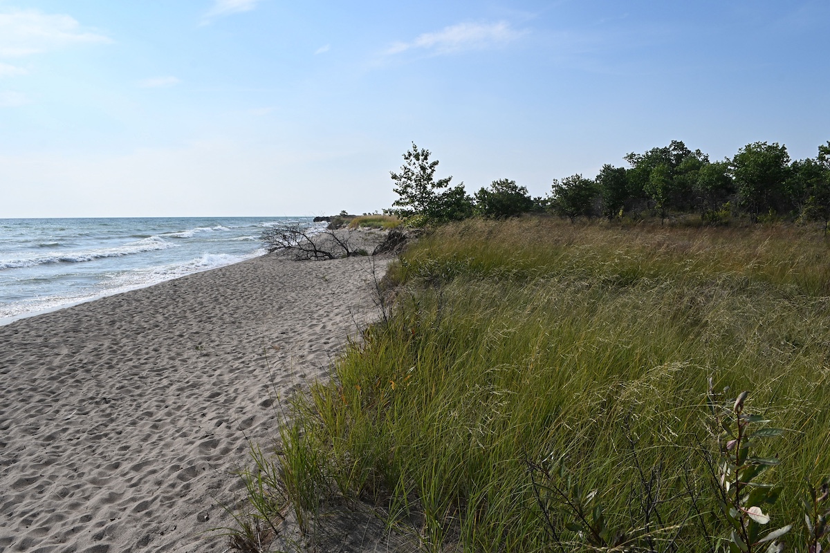
Sunflowers and bluestem at Brownlee Cemetery Prairie. Photo by Angella Moorehouse.


Sunflowers and bluestem at Brownlee Cemetery Prairie. Photo by Angella Moorehouse.

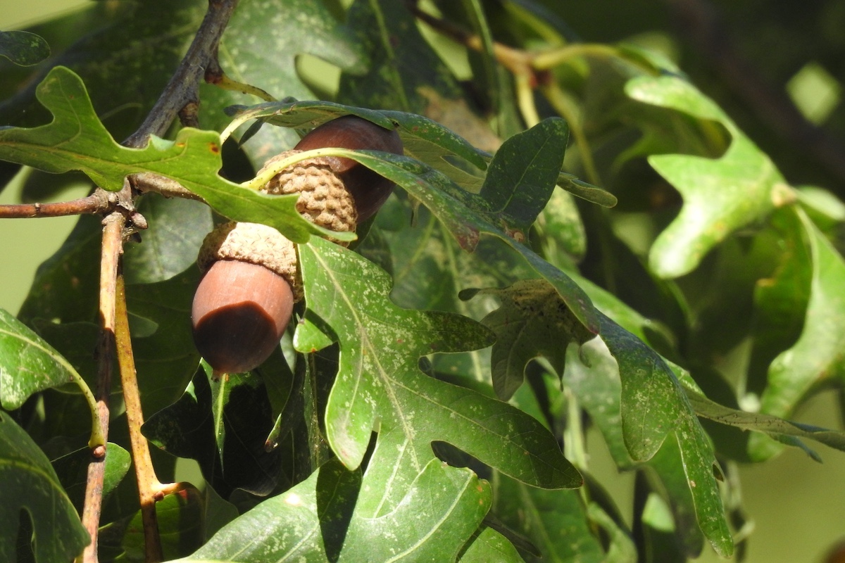
Along the Illinois River Valley in west-central Illinois, a continuum of prairie and woodland habitats once spanned the level landscapes and rolling uplands, which dip into the floodplains and deep ravines created by rivers. Today the Western Forest-Prairie Natural Division is known for several remnant natural communities, including prairie remnants, glacial drift hill prairies, dry-mesic barrens, savannas, seeps, dry-mesic woodlands and blocks of oak-hickory forest.
This natural division has two sections—Galesburg and Carlinville—separated by the Illinois River Valley. The Galesburg Section is north of the Illinois River Valley and drained by the Spoon and LaMoine rivers. The Carlinville Section is southeast of the Illinois River Valley and drained by Macoupin Creek and the Illinois River. Historically, the amount of prairie within each section nearly equaled the amount of forest (see 1820 land cover map).

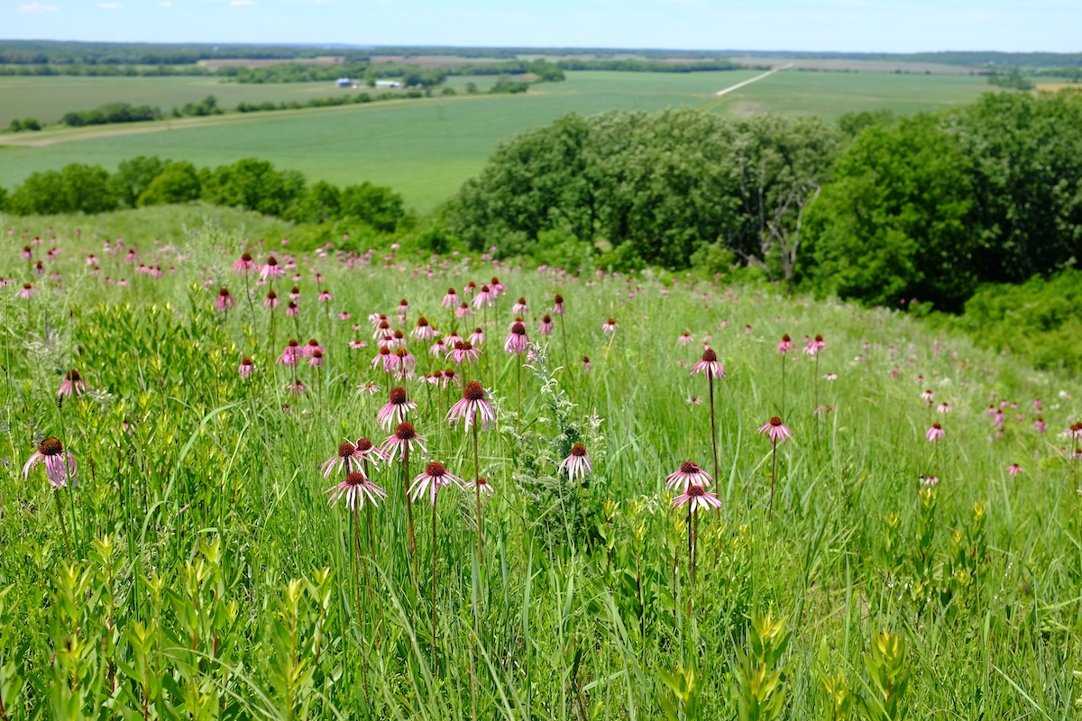
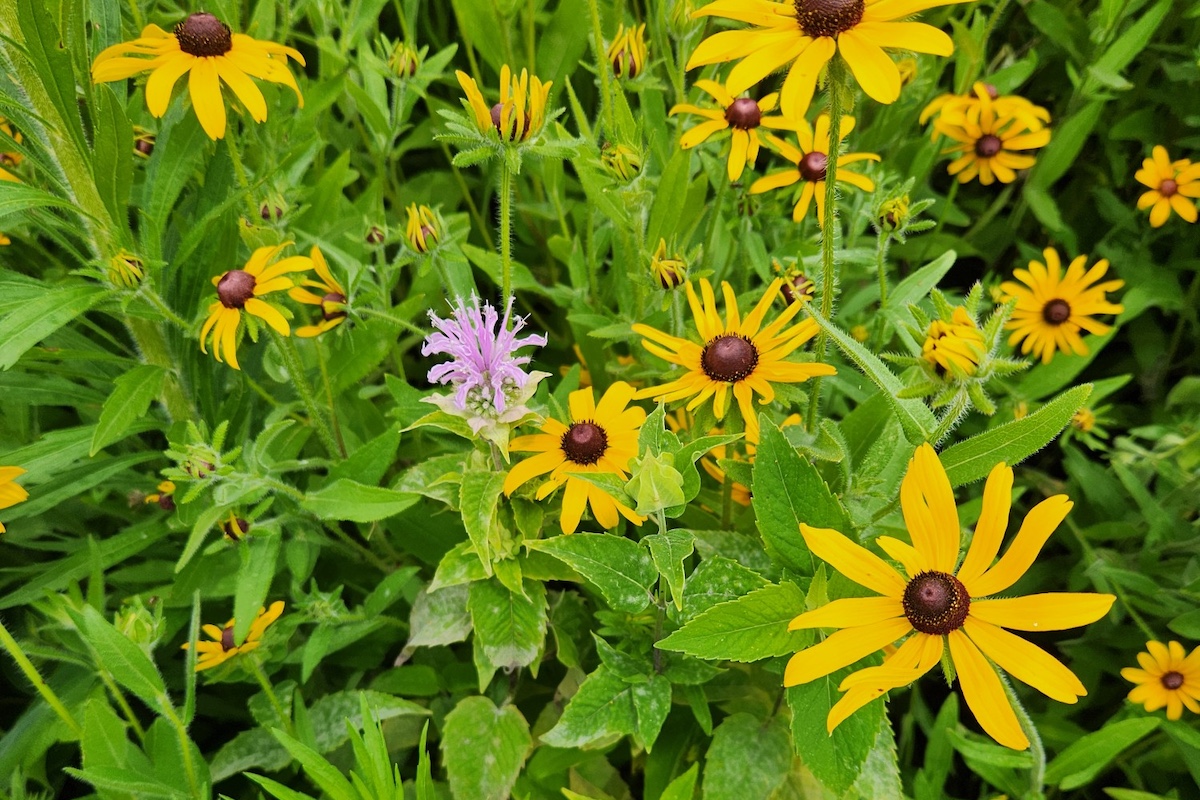
One interesting habitat visitors can explore is a barrens at the Argyle Hollow Barrens Nature Preserve, located within Argyle Lake State Park. Barrens are characterized by open-grown trees, or tree that have grown virtually all their life without competition and have a stunted, gnarled growth form and spreading limbs. Also in this plant community are scattered shrubs, such as hazelnut and aromatic sumac, and an understory of prairie plants including bluestem grass, leadplant, white prairie clover, showy goldenrod and poverty grass. Dry-mesic barrens, such as this McDonough County example, occur on thin soil over bedrock and were once common in Illinois. Today they are rare.
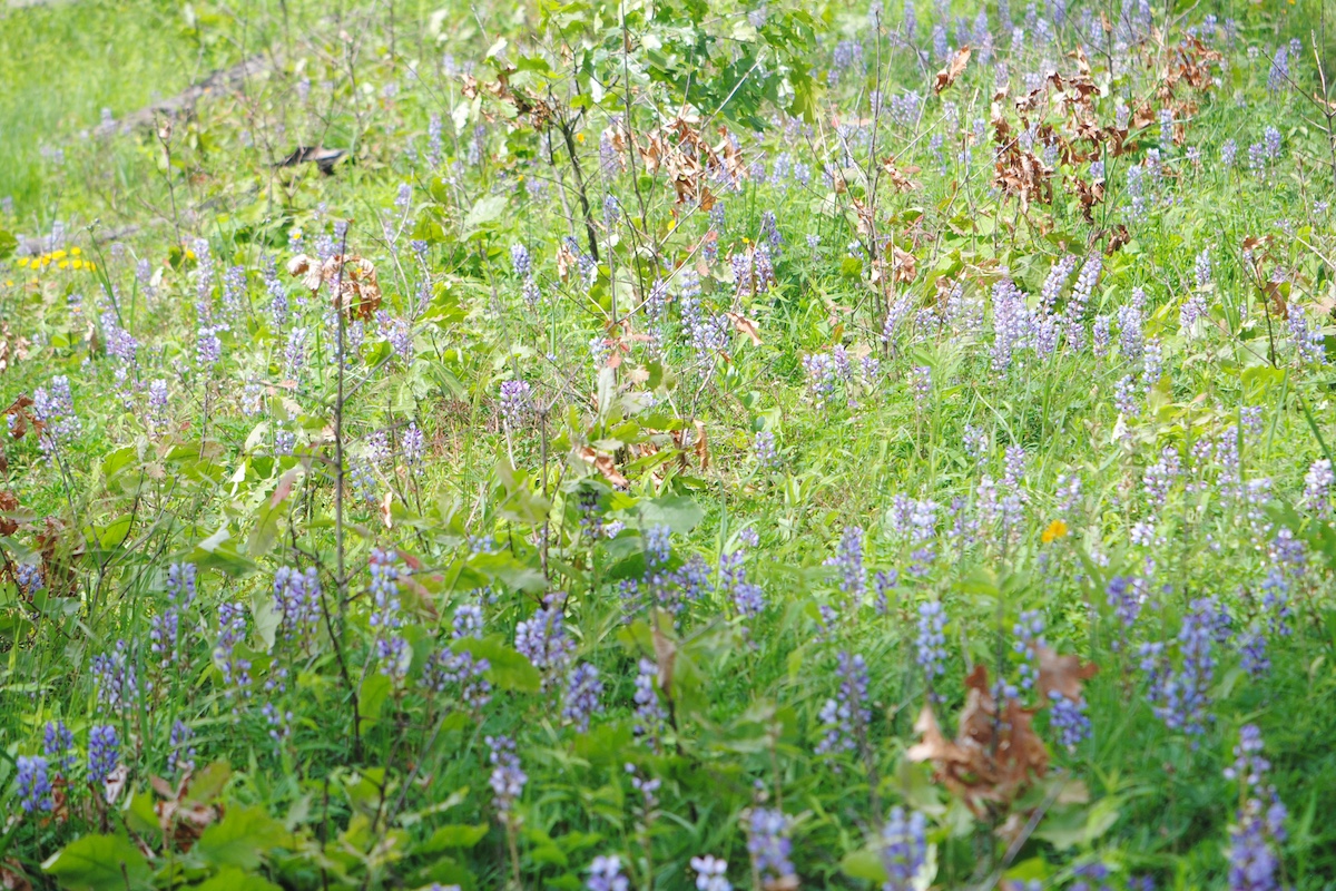
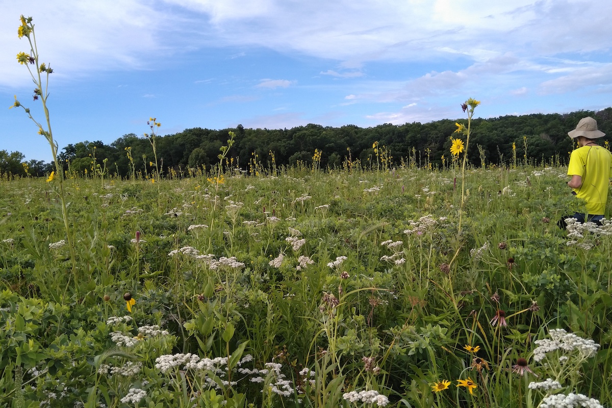
Angela Moorhouse, an Illinois Nature Preserves Commission Natural Areas Preservation Specialist, also suggests visiting Spring Grove Cemetery on the north side of Monmouth in Warren County. Managed and used for occasional education programs by the faculty and students at Monmouth College, the site was deeded for church use in 1859. Protected from cultivation or grazing for decades, the mesic black soil cemetery prairie contains more than 55 prairie species. Another notable mesic prairie site is the Mercer County Brownlee Cemetery Prairie. In 1842, Thomas and Anne Brownlee deeded 3 acres of land to the Associate Church of North Henderson for a church and burial ground. The last burial took place in 1942. During the summer months, visitors can observe Indian grass, big bluestem, little bluestem, leadplant, wild bergamot, yellow coneflower and rattlesnake master. Both sites offer ease of access, are open to the public, and provide visitors who enjoy combining history and culture with their outdoor adventures a glimpse into the region’s past.

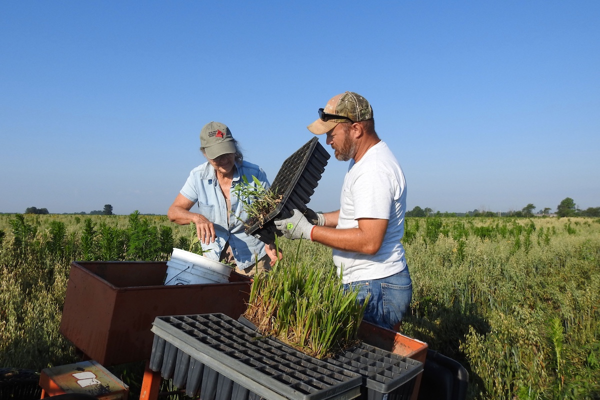
Although Illinois’ various natural communities each have unique attributes, they all face similar and serious challenges for land managers. Heavy agricultural use, timber harvest, the encroachment of invasive and weedy species and development have all played a role in the fate of habitats within the Western Forest-Prairie Natural Division. In addition, evolving understanding of compositional and structural differences between forest, woodland, savanna and barrens natural communities, and what environmental factors resulted in those differences, has advanced the use of prescribed fire to many of these fire-dependent communities and helps share this incredible mosaic. Preservation and restoration are a priority for a network of agencies and organizations in the region, including the Illinois Department of Natural Resources (IDNR), U.S. Fish and Wildlife, The Nature Conservancy, Prairie Land Conservancy, National Great Rivers Research Education Center, Peoria Park District, the National Wild Turkey Federation and more.
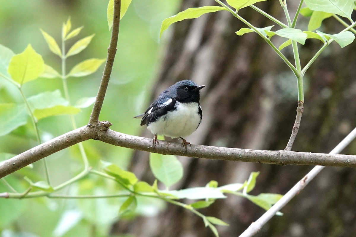
Because the Western Forest-Prairie Natural Division is home to several threatened or endangered species, and species deemed critical to the division in the Illinois Wildlife Action Plan, the efforts of these partnering organizations are of vital importance.

Mark Phipps, Illinois Department of Natural Heritage District Heritage Biologist, explained that this natural division is home to approximately 40 threatened or endangered species of flora and fauna. Two unique flora species in the region are the recently delisted prairie trout lily (Erythronium mesochoreum) and Illinois-threatened bunchflower (Melanthium virginicum).
Species of note identified in the Illinois Wildlife Action Plan include creek heel splitter and monkeyface mussels, barn and short-eared owls, Indiana and northern long-eared bats, ornate box turtle and Kirtland’s snake. In addition to the critical species, this division is also home to several species listed as Species in Greatest Conservation Need, as shown in this excellent interactive map of the natural divisions in Illinois.
The Illinois Wildlife Action Plan identifies two distinct Conservation Opportunity Areas within the Western Forest-Prairie Natural Division: the Siloam Springs Complex and the Lower LaMoine River.

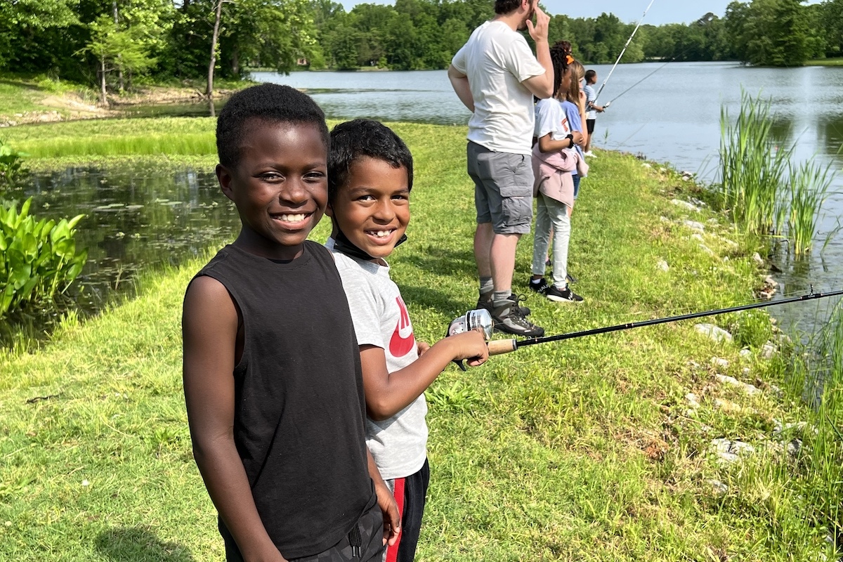
In addition to the solid conservation work in this natural division, outdoor recreational opportunities abound. From hiking to hunting and wildlife watching to water sports, it’s easy to find just the right spot for your outdoor passion at several IDNR sites, including Beaver Dam State Park, Siloam Springs State Park, Weinberg-King State Fish and Wildlife Area.
Regardless of the season or which area of this natural division you choose to explore, the Western Forest-Prairie Natural Division is sure to please any outdoor and nature enthusiast.
Gretchen Steele hails from Coulterville. Steele is a freelance outdoor communicator. Her award-winning work appears as a regular columnist and contributing feature writer for Illinois Outdoor News and several Illinois newspapers. She enjoys spending her time afield as a volunteer for the Illinois Department of Natural Resources, Delta Waterfowl Foundation, Retrievers Unlimited, and various other conservation organizations. Steele is a member of the Illinois Conservation Federation Outdoor Hall of Fame. She is the Past President of Missouri Outdoor Communicators and remains an active member. Steele is a current and active member and formerly served on the Board of Directors with Association of Great Lakes Outdoor Writers.


Submit a question for the author