
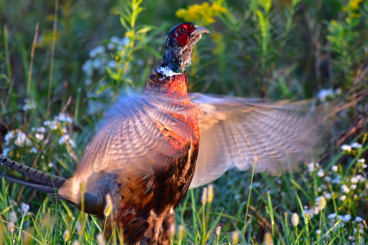
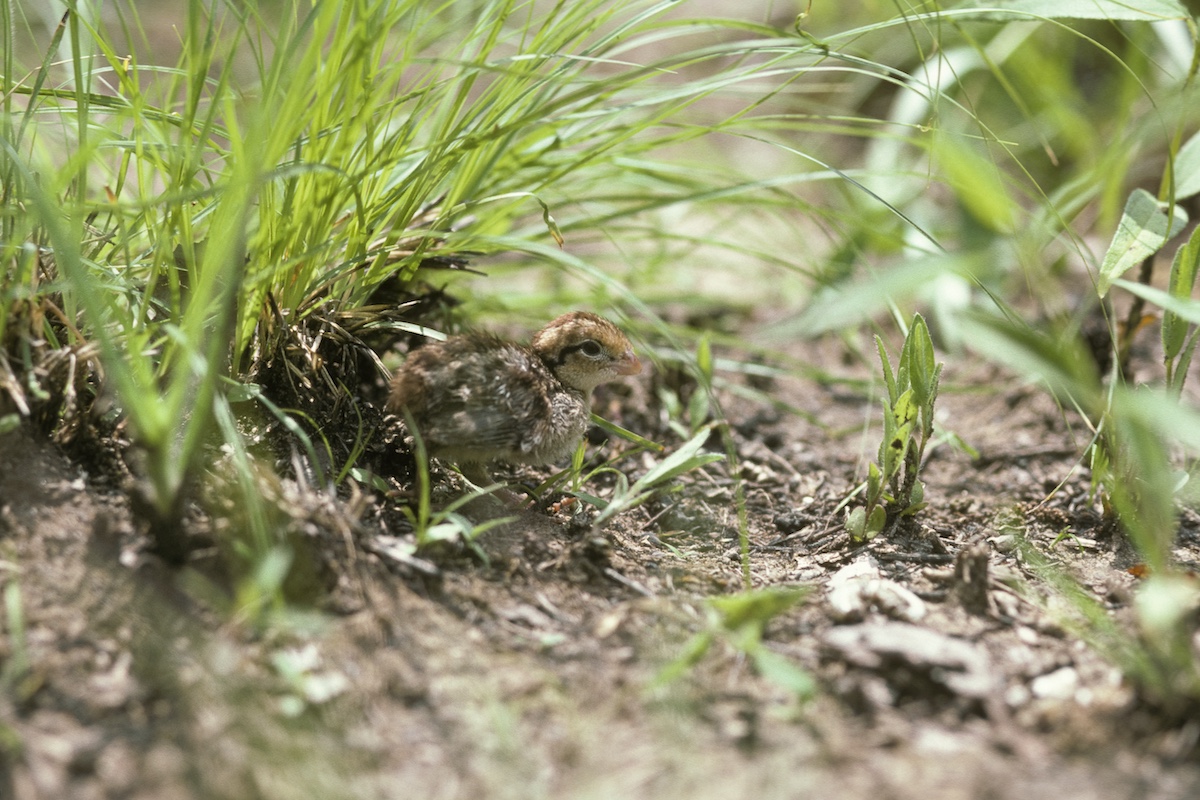
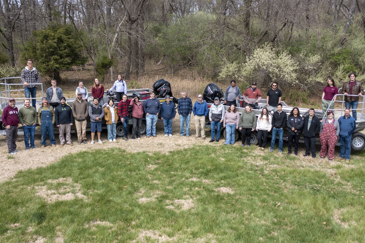
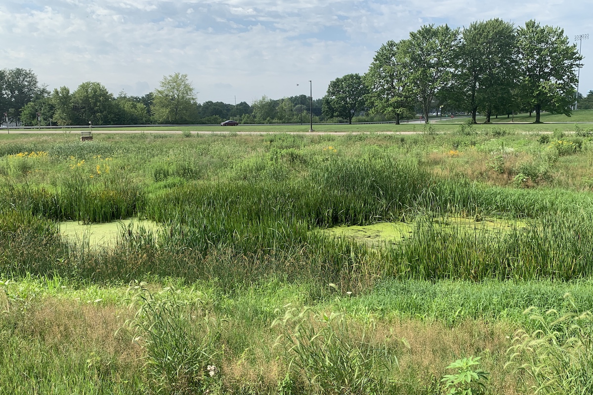
Photo by Robert J. Reber


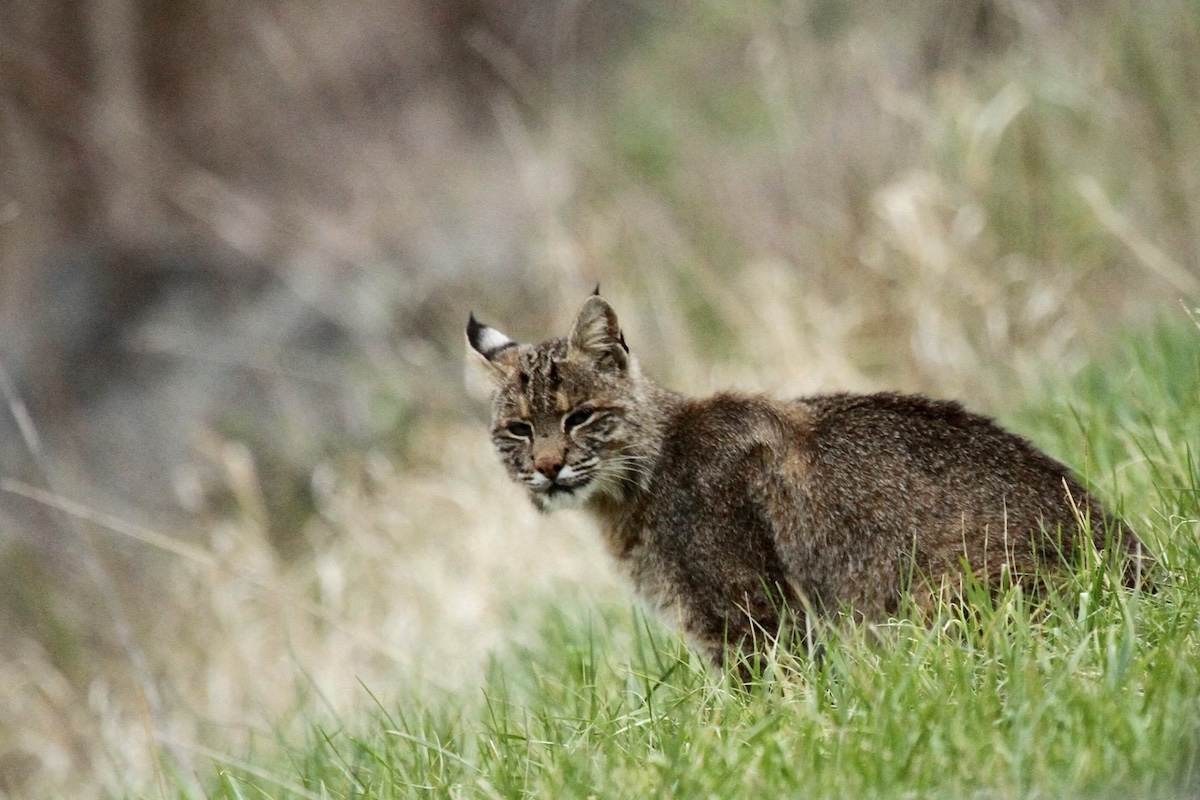
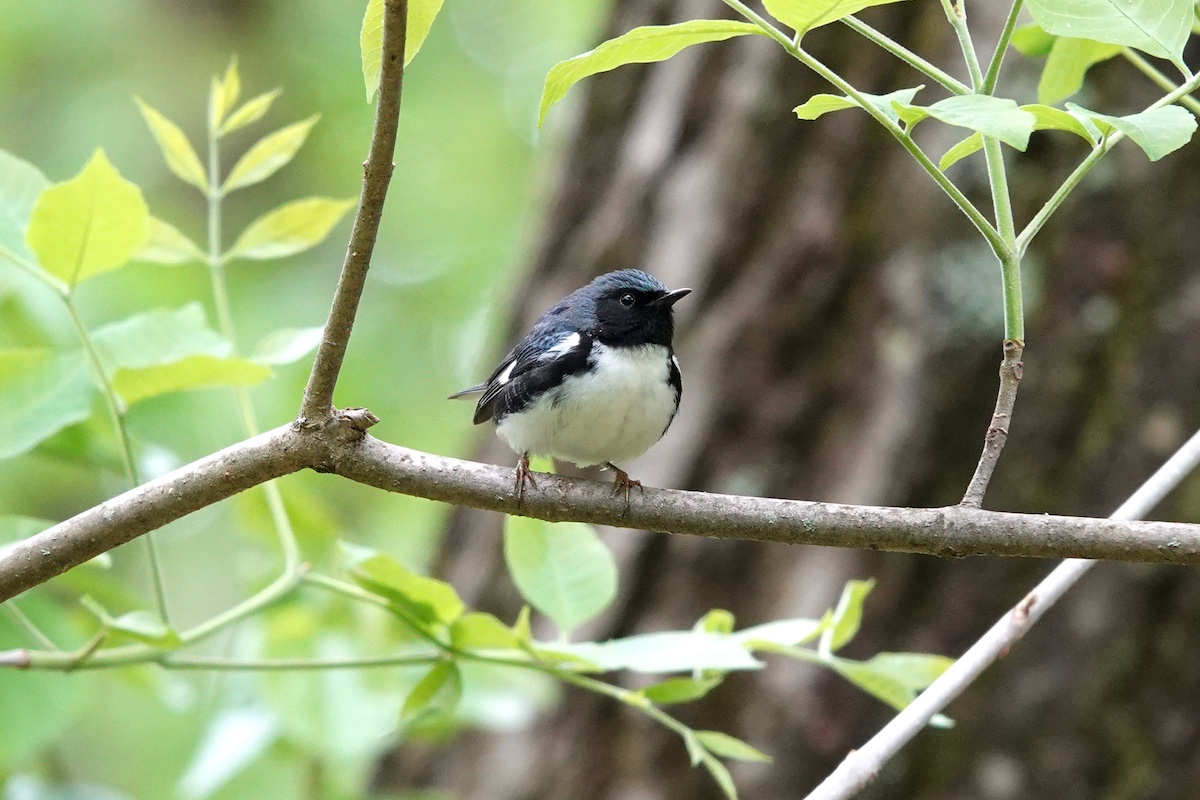
Photo by Robert J. Reber

One of the Illinois Wildlife Action Plan Farmland and Prairie Campaign’s goals is to significantly increase the abundance of grassland wildlife, including endangered, economically significant and declining species within highly focused project areas. To help meet that goal, Illinois Department of Natural Resources (IDNR) and campaign partners submitted a proposal to the U.S. Department of Agriculture-Farm Service Agency, and was awarded a grant to target the new CRP State Acres for Wildlife Enhancement (SAFE) practice (CP-38) on grassland wildlife focus areas throughout intensely farmed portions of the state.
One of the requirements for SAFE is that wildlife response must be monitored in a different way than before. The existing monitoring was established to measure long-term trends, not annual responses. Traditional transects (routes) consisted of pheasant and quail counts, pheasant brood counts, and August dove counts. IDNR had been doing these inventories for decades, and had a huge data set. However, the August dove counts and the pheasant brood counts did not do a very good job predicting fall harvest. Not only that, counting pheasant and quail calls at 2-minute stops provided no data on how many birds were there, and bird density could not be calculated. A change was necessary.

Truly embracing the IWAP required census design changes. With a Federal Aid in Wildlife Restoration–Pittman-Robertson Fund grant, a new upland bird monitoring protocol was developed, and in 2009 IDNR staff was trained.
New upland routes were started in 2010 and State Habitat Area and Pheasant Habitat Area counts that use similar protocols were added. Each transect was digitized and a new database was built to house the higher volume and complexity of data.
The new routes offer several advantages:

The WPA Farmland and Prairie Campaign partners might have been ahead of the curve as a national effort is under way to develop monitoring protocols that allow comparison of monitoring data across state lines. As an example, the U.S. Fish and Wildlife Service sponsors the Midwest Coordinated Bird Monitoring Partnership to encourage just that. Also, the Central Hardwoods Joint Venture used similar methods in their Grassland Bird Monitoring Project. The National Bobwhite Conservation Initiative is considering the use of similar methods as part of their recommended focus area monitoring approach.
Mike Wefer is the Division of Wildlife Resources Chief, Illinois Department of Natural Resources.


Submit a question for the author