
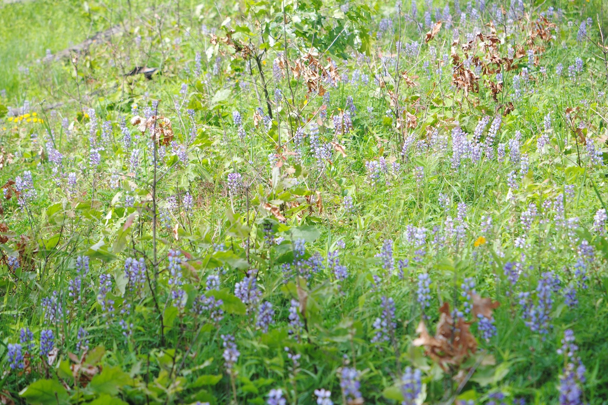
The steep slopes of Pine Hills. Photo by Michael R. Jeffords.


The steep slopes of Pine Hills. Photo by Michael R. Jeffords.

In April of 1842, acclaimed English novelist Charles Dickens and his traveling companions boarded the steamer Fulton to travel from Louisville to St. Louis. In “American Notes,” published after his return to England, Dickens recounted his American travels. Less than impressed with the area around the developing community of Cario, he penned:”…we arrived at a spot so much more desolate than any we had yet beheld…,” describing it as “…a hotbed of disease, an ugly sepulchre, a grave uncheered by any gleam of promise: a place without one single quality, in earth or air or water to commend it….” Traveling northward on the Mississippi River toward St. Louis, he described the river as a “foul stream” which consisted of “running liquid mud …choked and obstructed everywhere by huge logs and whole forest trees…rolling past like monstrous bodies.” His tours of Illinois were met with similar disdain, saying that “the excessive flatness of the [prairie] scene makes it dreary, but tame.”
Today, with our understanding of the diverse and distinctive natural resources present within the Lower Mississippi River Bottomlands Natural Division, our impressions far differ from those of Dickens. What he described as a “breeding place of death” we recognize as an expansive swamp, home to a diverse assemblage of plants, fishes, reptiles, amphibians and birds. Instead of a ‘ditch of liquid mud,’ we see a complex river system with deep thalwegs, backwater lakes and island refuges. The division extends from Alton in Madison County to Thebes Gorge, near Cairo, and includes a section of the Mississippi River and floodplain forests, wet prairies, marshes, swamps and cliffs carved by the Mississippi River.

LaRue Swamp, located in Union County northeast of the community of Wolf Lake, and known for unique, rare and unusual species, is both an Illinois State Nature Preserve and a National Natural Landmark that is owned by Southern Illinois University-Carbondale.
“LaRue Swamp borders the steep slopes of LaRue Pine Hills,” Kevin Sierzega, the Illinois Nature Preserves Commission Specialist for southern Illinois, noted. “This area is well-known for Snake Road, with a section of the road seasonally closed during the spring and fall migration of snakes from their wintering dens on the slopes to the swamp.”
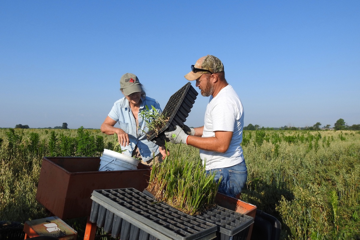
Along with the adjacent Pine Hills area, this nature preserve is one of the richest, most biologically diverse areas in the state, containing an assortment of wetland communities typical of the Mississippi River bottomlands. This 140-acre area contains 43 percent of all plant species known to occur in the state.
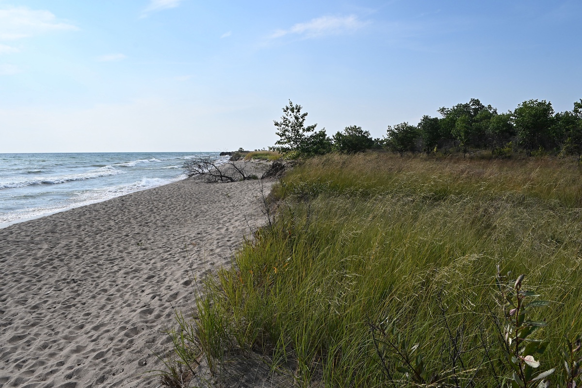
Visitors to Horseshoe Lake State Fish and Wildlife Area (SFWA) in Alexander County often remark that the presence of bald cypress, tupelo gum and swamp cottonwood reminds them of swamp habitats in the Deep South. Located just 7 miles north of Cairo, the now 10,200-acre SFWA originated as a Canada goose sanctuary in 1927 when 49 acres were acquired by the then Illinois Department of Conservation. Considerable waterfowl research has taken place at Horseshoe Lake. Sections of the site are open for waterfowl hunting.
A natural oxbow lake, the approximately 2,000-acre Horseshoe Lake has nearly 20 miles of shoreline and a maximum depth of 6 feet. Anglers may find black and white crappie, bluegill, spotted gar, and smallmouth, bigmouth and black buffalo.
Two large, undisturbed forested tracts within the SFWA were designated as a nature preserve in 1969. In 1972, the National Park Service designated Horseshoe Lake Nature Preserve as a National Natural Landmark. This designation recognizes and encourages the conservation of sites that contain outstanding biological and geological resources. Horseshoe Lake Nature Preserve, is recognized for its diverse aquatic and terrestrial flora and fauna, mature stands of bald cypress, and its value as a waterfowl migration corridor and as an overwintering site for Canada geese.
“This nature preserve is open to the public where visitors can experience high- and very high-quality swamp, mesic floodplain forest and wet floodplain forest natural communities typical of the Southern Section of the Lower Mississippi River Bottomlands Natural Division,” Sierzega explained. “These habitats represent a rare, functional remnant of the natural features once common in the Mississippi River floodplain.”
Also preserved for its quality wet-mesic floodplain forest community is the Illinois Natural Area Inventory site known as Lindsay’s Woods, located at Union County State Fish and Wildlife Area. Dominant trees include overcup, pin and Shumard oaks. The area serves as a major resource for foraging bat species, including several endangered species. Open to the public, the site serves as a refuge and no hunting is allowed.
Common within the margins of swamps and in river bottoms in the region are overcup and pin oaks, and swamp red maple trees, with scattered kingnut hickory, pecan, sugarberry, cottonwood and silver maple trees.
Upon a close examination, visitors may find individuals of three tree species that are much more typical to Deep South landscapes than to Illinois. Pumpkin ash (Fraxinus profunda), known for its pumpkin-shaped base, bears fruits eaten by wood ducks. Present in Illinois only in the southern region is the swamp cottonwood (Populus heterophylla), a tree that survives waterlogged soil conditions better than its close cousin the eastern cottonwood (P. deltoides). The iconic, buttress-trunked bald cypress trees (Taxodium distichum) within southern Illinois represent some of the northernmost native populations of this deciduous conifer. Some southern Illinois bald cypresses are estimated to be more than 1,000 years old.
Mark Guetersloh, a former Illinois Department of Natural Resources District Heritage Biologist, stressed the importance of the value of the floodplain forests remaining in southern Illinois.

“Recent research indicates that 98 percent of these forests have been drained and cleared, including a loss of almost 20 percent in Union County between 1996 and 2000,” he remarked. “The changes in hydrology, habitat fragmentation and water have been detrimental to the flora and fauna of the natural division.”
Within the Prairie State exists a complex river system with deep thalwegs, backwater lakes, island refuges where visitors will find expansive bald cypress-tupelo gun swamps that harken to areas in the Deep South. Contrary to Charles Dicken’s claim that the area was a ‘ditch of liquid mud,’ the Lower Mississippi River Bottomlands Natural Division offers visitors opportunities to experience distinct resource-rich and high quality natural communities.
Part 2 of the Lower Mississippi River Bottomlands Natural Division story will focus on the diverse assemblage of plants, fishes, reptiles, amphibians and birds found in the region.
Kathy Andrews Wright retired from the Illinois Department of Natural Resources where she was editor of OutdoorIllinois magazine. She is currently the editor of OutdoorIllinois Journal.


Submit a question for the author