
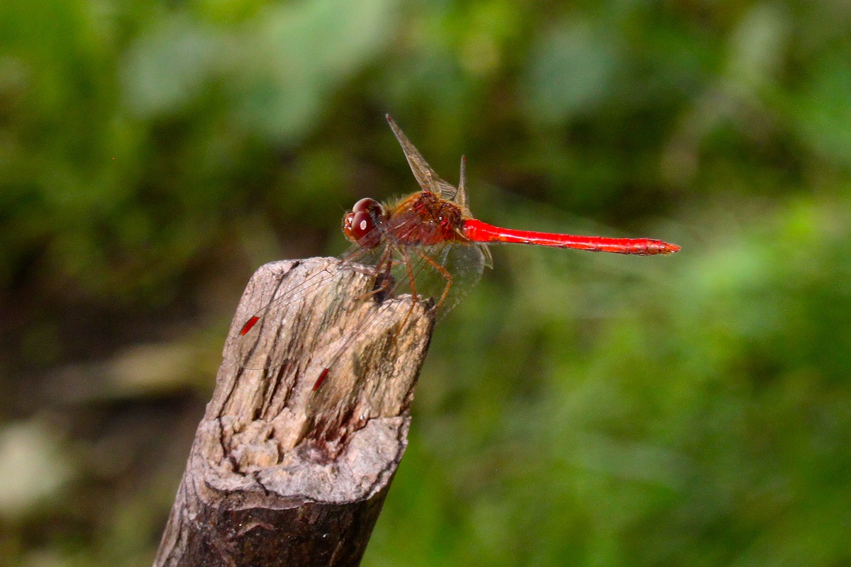
Photo by mark6mauno, CC BY-SA 2.0, via Wikimedia Commons.


Photo by mark6mauno, CC BY-SA 2.0, via Wikimedia Commons.
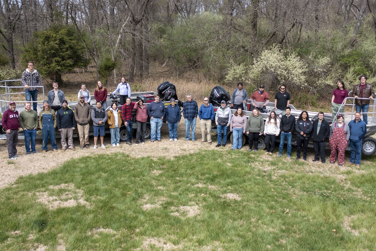
Multiple Agency Monitoring (MAM) a collaborative effort with the Illinois Department of Natural Resources (Aquatic Nuisance Species Program), Illinois Natural History Survey, U. S. Fish and Wildlife Service and the U.S. Army Corp of Engineers. Prior to 2019, such efforts were significant, but not tightly coordinated and conducted by several agencies with minimal coordination. The focus of this project is to monitor the presence and abundance of invasive carps in the Illinois River using different fisheries gear types to sample the various strata and habitats throughout the Illinois River in a calculated and prescribed fashion. Sampling takes place throughout the Illinois River below the electric dispersal barrier system in the Lockport pool down to the Alton Pool. The invasive carps we are focused on monitoring include silver carp, bighead carp, grass carp and black carp.

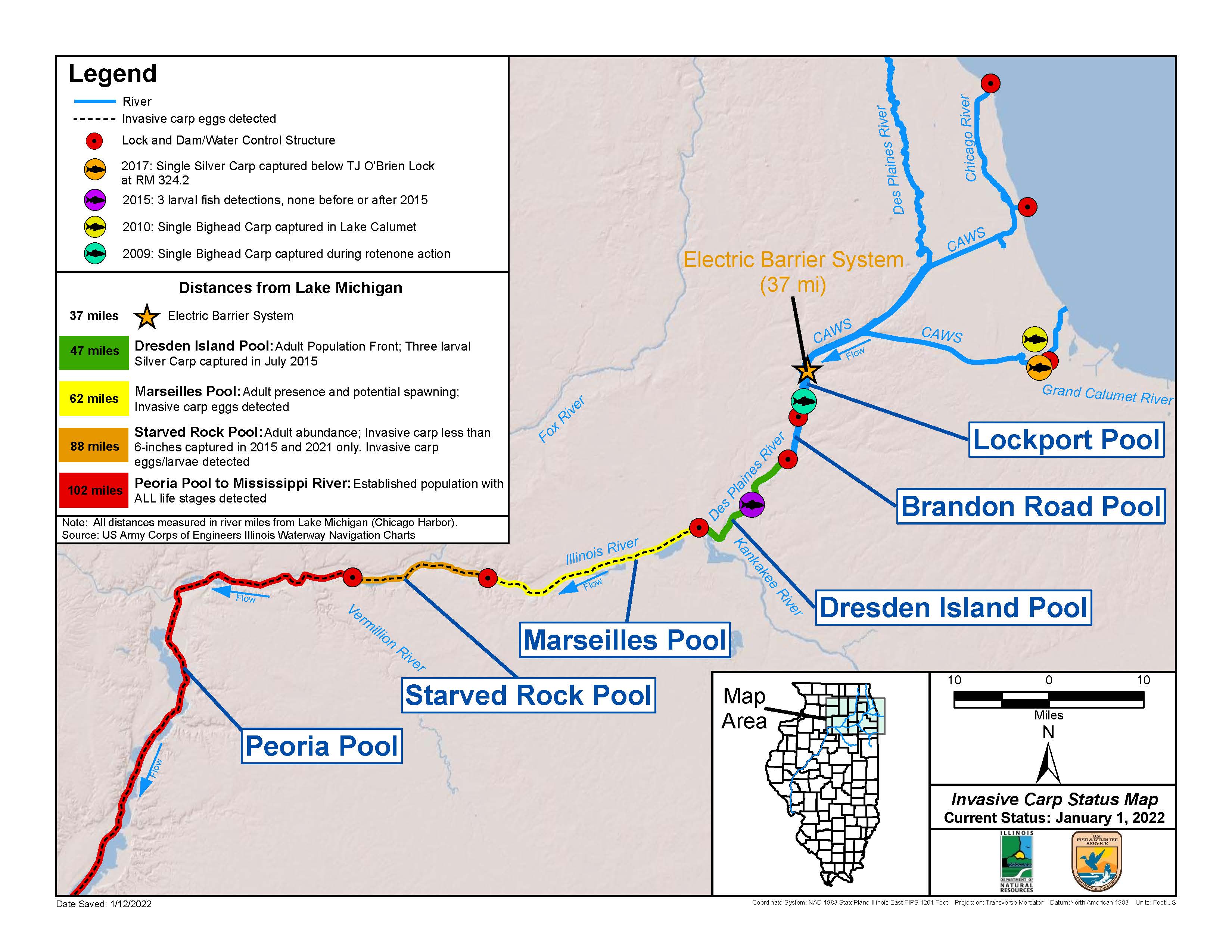
Detection and monitoring of invasive carps below the electric dispersal barrier system (EDBS) is pertinent to understanding the threat of expansion into Lake Michigan and effectively controlling their spread. Surveillance is particularly important in reaches deemed the most upstream expanse for each invasive carp species. In 2022 the leading edge for bighead carp and silver carp was within the Dresden Island Reach; for grass carp it was the Chicago Area Waterway; and for black carp it was the Peoria Reach. The geographic expanses of these fish make it necessary to collaborate with other agencies throughout Illinois so we can adequately monitor invasive carp throughout the Illinois River and accurately understand their range.
Through this collaborative effort with other agencies, a variety of different gear types are used, including Pulsed DC electrofishing, fyke nets, mini-fyke nets, paired hoop nets (small and large) and the electrified Dozer Trawl. These gear types (not including electrified Dozer Trawl) are standardized following the protocols described by the Upper Mississippi River Restoration Program’s Long Term Resource Monitoring. Utilizing this variety of standardized gear types and methods allows us to sample the different habitats and strata throughout the Illinois River, and to do so with statistical vigor. It also allows us to sample and monitor the different life stages of invasive carp. Sampling occurs at random sites (main-channel-border, side-channel-border, backwater, impounded, tailwater zone and tributaries) within each river reach (Lockport-Alton) during spring (June 15 – July 31), summer (August 1 – September 15) and fall (September 16 – October 31). The number of sites per pool/per gear type is divided up amongst the different agencies.

The specific objectives of the Multiple Agency Monitoring project include monitoring the geographic distribution and relative abundance of adult and juvenile invasive carp populations in reaches below the electric dispersal barrier downstream (EDBS) to Alton Reach, provide data capable of detecting spatial and temporal changes in the invasive carp population and native fish community throughout the Illinois River Waterway between the EDBS and Peoria Reach. Additionally, project staff work to inform others on the removal of fish and provide scientific value to many other elements of the program.
During 2022 this sampling completed 486 electrofishing runs, 27 fyke nets, 408 mini fyke nets and 252 sets of paired hoop nets. The 255,810 total fish were captured during sampling representing 106 species. Invasive carp catch totaled 1,798 silver carp, 136 grass carp and 4 bighead carp. Most of these fish were captured below the Marseilles reach and the leading edge for silver carp and bighead carp remained in the Dresden Island reach.
More than 27 projects are focused on the Illinois Waterway and connecting waters to prevent the spread of invasive carp and to reduce the population that exists. The Illinois Department of Natural Resources leads this highly collaborative venture to provide the best information to accomplish these things. Combined with the other projects, we have seen a decline in population densities at the leading edge locations since 2012 and have high confidence in knowing where the fish are in the Waterway.
Through partnerships and funding by the Great Lakes Restoration Initiative, these efforts will continue to protect Illinois waters and our Great Lakes.

Eli Lampo is a Natural Resources Coordinator with the Illinois Department of Natural Resources and part of the Aquatic Nuisance Species Program. He has been in this role since 2019. He received his M.S. degree and B.S. degree from Western Illinois University. His work primarily deals with the monitoring and harvesting of invasive carp on the Illinois River.


Submit a question for the author