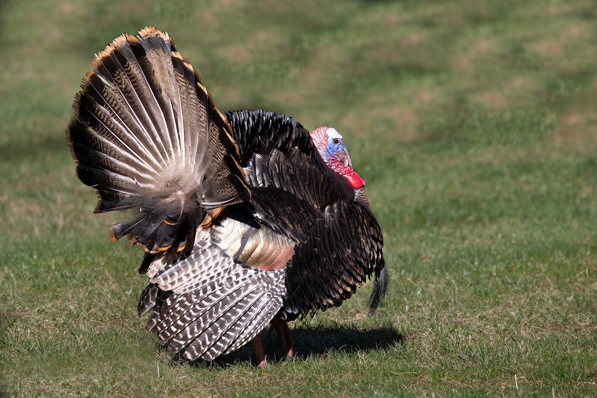
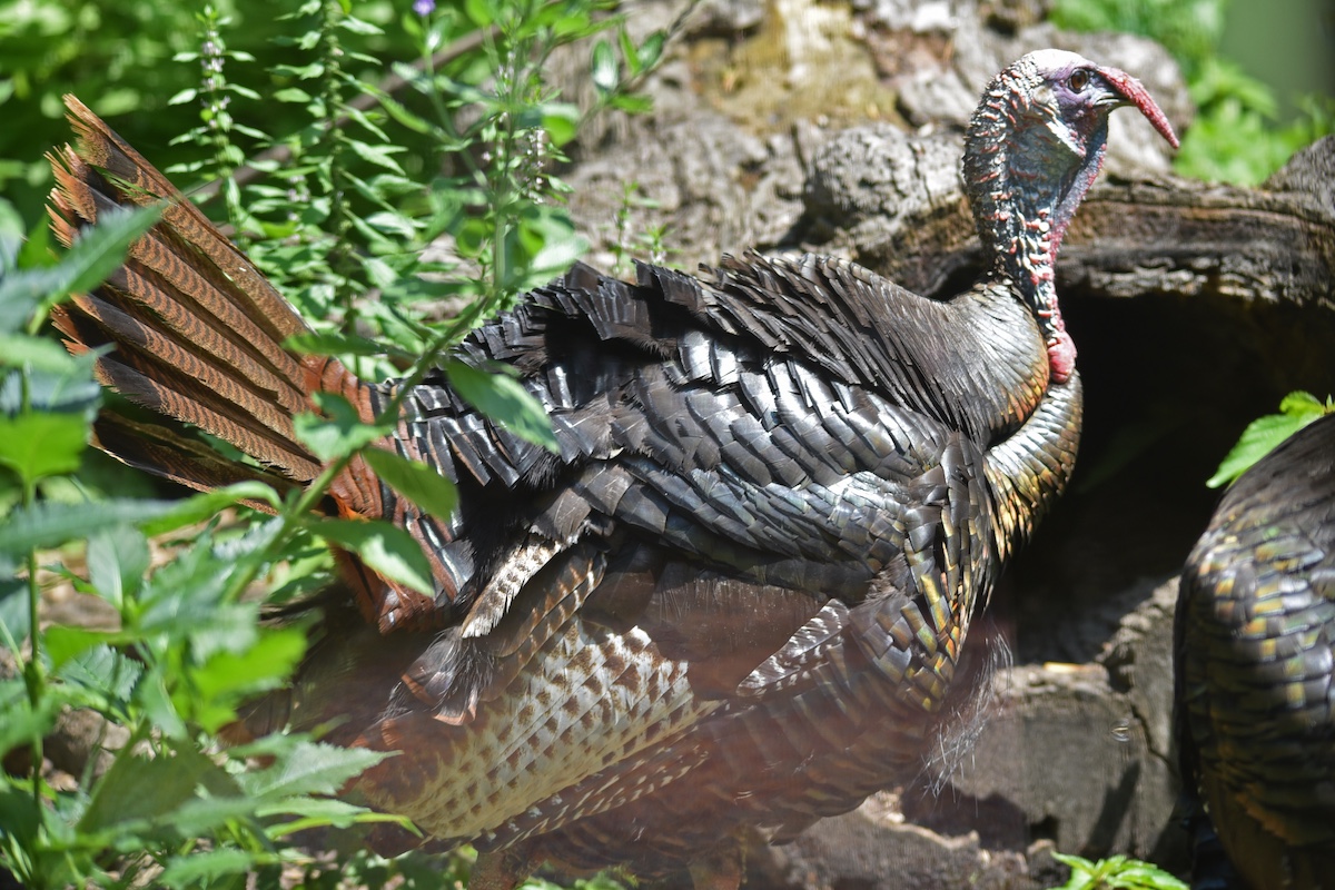
Photo by Annie Spratt.


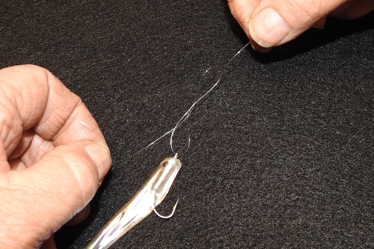
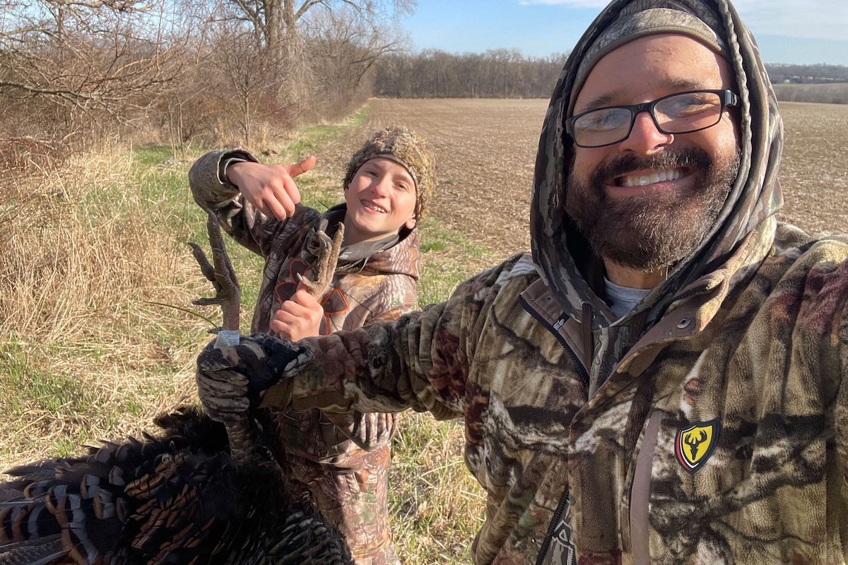
Photo by Annie Spratt.
When the Illinois Department of Natural Resources (IDNR) purchases a new property, U.S. Fish and Wildlife Service Federal Aid, Wildlife Restoration (Pittman-Robertson) grant money is commonly used to augment state funds. However, the use of Federal Aid grant funding has its limitations and constraints. The land that is bought utilizing Federal Aid grant funds, such as the State Wildlife Grant or a Pittman-Robertson grant, can only be used according to grant guidelines. Each grant has different purposes and stipulations. IDNR is making a promise that land purchases with Federal Aid funds are used appropriately, and that the primary purpose will remain as described in the grants. IDNR developed a plan to help ensure that we meet those promises and to help inform IDNR staff that a particular parcel of land has a federal “nexus” that limits the lands use or development.
For this reason, the Owned, Managed and Leased Properties (OMLP) project was started, and the project has expanded over the past 18 years. The initial thought process behind OMLP was to determine, like the name says, which land IDNR owns, manages and leases across the state was purchased with Federal Aid funds. This sounds like a simple process, but at the time no single data source was available to IDNR staff help determine if a parcel of land was eligible for development, how the land could be used, or where all of IDNR’s properties were located. To help the staff members, a digital map of all IDNR’s properties needed to be created.
The digital mapping process was complex, requiring staff to discover the land deeds for each parcel purchased by IDNR, after which the correct mapping of those parcels could take place. The process started off with a review of all the copies of deeds located at the Springfield IDNR headquarters. If a deed was not found in the Springfield office, the OMLP team proceeded to access records in the State Archives at the Illinois State Library. If no deed existed there, team members traveled to the individual county assessors office to look for deeds, and validate the ones located in Springfield. Once a deed was located, a copy was digitally scanned and cataloged for each parcel that makes up an IDNR property.
From the deed’s legal description, the parcel was painstakingly mapped using a Geographic Information System (GIS). GIS connects data to a map, utilizing location data (latitude and longitude). Descriptive information is then tied to that location. GIS allows for the creation of digital maps that can be viewed over the internet.
Over an 18-year period, technology changed, as did the OMLP program. The original maps were created with the help of Environments Systems Research Institute (ESRI), Arc View software and the data was stored on servers with the OMLP Team at the University of Illinois (U of I). Data storage on the U of I servers allowed numerous team members to work on creating parcel boundaries at the same time. As time went on, the ability to display the maps over the internet was leveraged and anyone in the agency could access and view the maps and associated data.
Currently, digital maps of IDNR sites are available through ESRI Arc Online mapping applications. The public can view the site boundaries, each parcel that the IDNR has purchased within the site, the deed for each purchase, and if a that parcel has a federal “nexus.” The most recent update to the OMLP map dataset is the inclusion of a parcel fabric. Parcel fabric datasets are complex and allow for greater accuracy in the numerous map layers that make up the OMLP dataset. Imagine if each time you updated a parcel in a site, you would have to change each layer that the parcel intersected: the site boundary, the hunter maps, the land use maps. Each change to a map, prior to the parcel fabric, required that all map associated layers would have to be updated to line up with the change. Commonly this resulted in errors. With a parcel fabric, when you make a change to a site boundary all the underlying, or associated, maps would move with the change to the parcel fabric.
Parcel data maps for IDNR properties can be viewed at: https://idnr.maps.arcgis.com/apps/webappviewer/index.html?id=d644c468b905411a84b870aa803cee71

Most recently, OMLP has expanded its scope of work and now includes digital hunter fact sheet maps. The Hunt Illinois application can show you where you can hunt waterfowl, deer, turkey, squirrel and more on 300-plus IDNR sites. The maps not only show what sites have hunting and trapping but show where on the site you can trap or hunt. These maps line up with the IDNR site listings that are found in the annual Illinois Hunting and Trapping Digest. The direct link for online Hunt Illinois maps is https://idnr.maps.arcgis.com/apps/webappviewer/index.html?id=fa7f661055a84d3bb03d3b5fb37bbd23

As technology and available data continue to evolve, the OMLP Team and the IDNR are dedicated to provide our constituents with the most accurate and up-to-date data. Knowing “where” is essential to meet conservation goals of the IDNR and to accomplish the department’s mission: “To manage, conserve and protect Illinois’ natural, recreational and cultural resources, further the public’s understanding and appreciation of those resources, and promote the education, science and public safety of Illinois’ natural resources for present and future generations.”
Chad Bartman is a Geographic Information Specialist with the Illinois Department of Natural Resources, Division of Wildlife Resources.


Submit a question for the author