
All photos courtesy of Thad Cook.

All photos courtesy of Thad Cook.
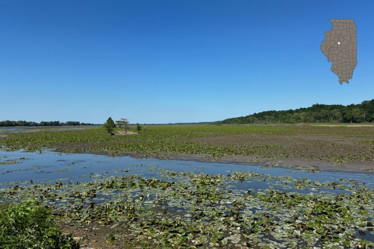
Spring Lake Fish and Wildlife Area, approximately 25 miles southwest of Peoria in Tazewell County, sits along the east side of the Illinois River. The state first acquired 632 acres of land in 1950, and the site has since expanded to more than 2,000 acres.
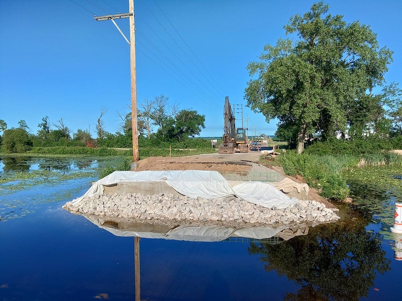
Spring Lake is a unique natural feature that was originally formed by a meander of the Illinois River. Historical surveys dating back to 1840 identified the lake as an abandoned river channel, and ownership was later transferred to the State of Illinois. Nestled beneath a large sandstone bluff, the lake stretches nearly 8 miles through the Illinois River bottomlands. It derives its name from the many spring seeps that come out of the bluff from the Mahomet Aquifer.
Today, the original lake is divided into two sections: Spring Lake North (578 acres) and Spring Lake South (610 acres). Both lakes are relatively shallow, averaging about 3 feet in depth, and support extensive aquatic vegetation. The area is a popular destination for outdoor recreation, offering fishing, boating, waterfowl hunting, deer hunting, hiking and camping opportunities.
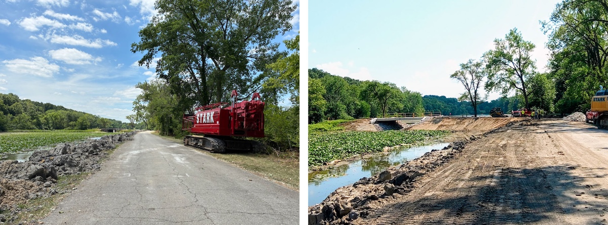
In June 2026, a large-scale, two-part improvement project began at Spring Lake Fish and Wildlife Area. The project includes significant road repairs throughout the park and a comprehensive rehabilitation of Spring Lake South.
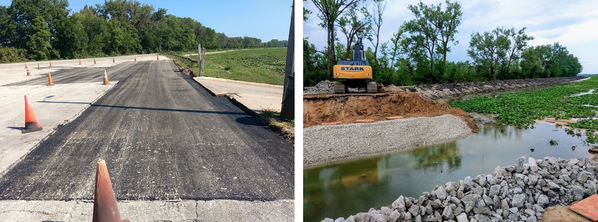
The road improvement portion of the project will focus on repairing and resurfacing roads throughout the site. Several parking lots and pull-off areas along South Lake Road will also be repaired, resurfaced and restriped, including updates to improve ADA accessibility. Additional improvements include:
To allow construction to proceed safely and efficiently, the South Lake portion of the park will be closed during the project. The North Lake area will remain open to visitors.
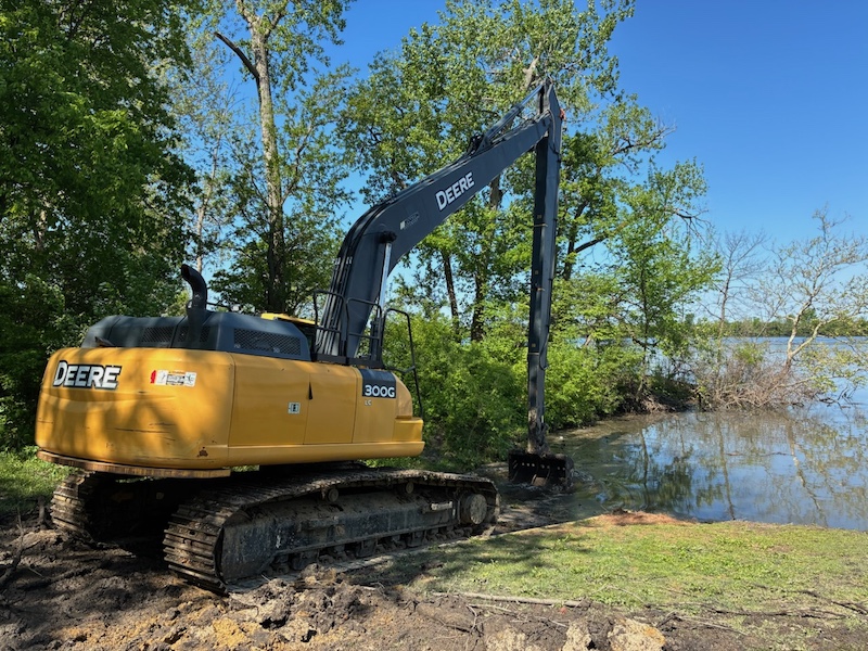
The second phase of the project focuses on restoring the health and long-term quality of Spring Lake South. Rehabilitation efforts include:
In May 2026, Illinois Department of Natural Resources (IDNR) staff began removing boards from the lake’s water control structure to gradually lower water levels and begin the dewatering process. At the same time, IDNR issued a fish salvage declaration.
A fish salvage declaration temporarily removes existing fish harvest regulations for anglers who hold a valid Illinois fishing license. This action is commonly taken when a fishery is expected to be lost due to construction, rehabilitation or other management activities.
The goal is to allow anglers to make full use of the fishery before the lake is drained.
In addition to public fishing opportunities, IDNR staff conduct fish salvage operations using standard sampling methods, including electrofishing boats. Fish collected during these efforts were transported and stocked into nearby public lakes and ponds to help preserve valuable fish populations.
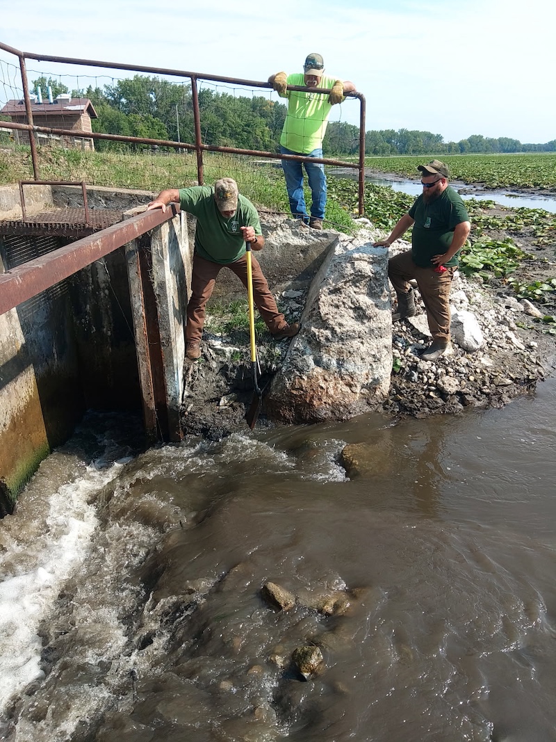
The Spring Lake South rehabilitation project is designed to improve both the lake’s habitat and its fishery for future generations.
While fish stocking will begin after the lake is restored, it is expected to take approximately four to five years for the fishery to fully reestablish and reach its full recreational potential.
The Spring Lake rehabilitation and road improvement project represents a significant investment in one of central Illinois’ most important outdoor recreation areas. Although temporary closures and construction activities may impact visitors in the short term, the long-term benefits will include improved infrastructure, healthier aquatic habitat, and enhanced fishing and recreational opportunities for years to come.
Blake Bushman is an Illinois Department of Natural Resources District Fisheries Biologist covering Tazewell, Woodford, Marshall, Putnam, Peoria, Fulton and McDonough counties. He has been with IDNR since 2014.
Thad Cook is the site superintendent at Spring Lake State Fish and Wildlife Area and all the satellite sites in Tazewell County. He started this position in 2019, with his natural resources career beginning in 1991 with the State Water Survey.





Submit a question for the author
Question: Blake and Thad,
I enjoyed the story about the work at Spring Lake, where I have fished on occasion. I recently stumbled across pictures from the spring of 2010 of my bother Roger, his friend Russ, and myself muskie fishing North Spring Lake. Russ was a die hard muskie fisherman, and he convinced Roger and me to spend many hours on a rather miserable day chucking big lures. Hours later, Russ did hook and land our one and only muskie, appears to be in the 36-40 inch range.
Roger was the Site Supt. at Anderson from the mid-70’s until his retirement in the early 2000’s, so neither of you would have likely met him. During his time at Anderson, I was occasionally invited to the annual fish shocking / sampling there, and and sometimes participated as a netman. The biologists conducting the studies were Ken Russell (deceased I believe) and Wayne Herndon, and later, Rob Hilsabeck.
I also met Norm Emerick, uplands game biologist, I believe his title was. He recruited Roger to help with his turkey trapping efforts in Fulton County, for the statewide relocation efforts in the late 70’s or 80’s.
It was a pleasure to be around these guys, and they suffered my never ending questions with knowledge, experience, humor and patience.
They left some big shoes to be filled. Never underestimate the influence you guys can have on the public. Best wishes on your projects, I look forward to future updates.
Ed
Peoria, IL