
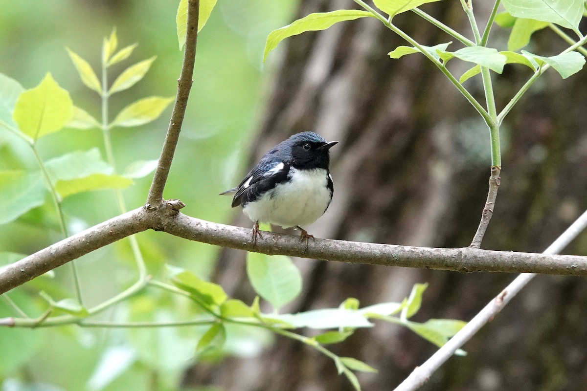
Photo by Michael R. Jeffords


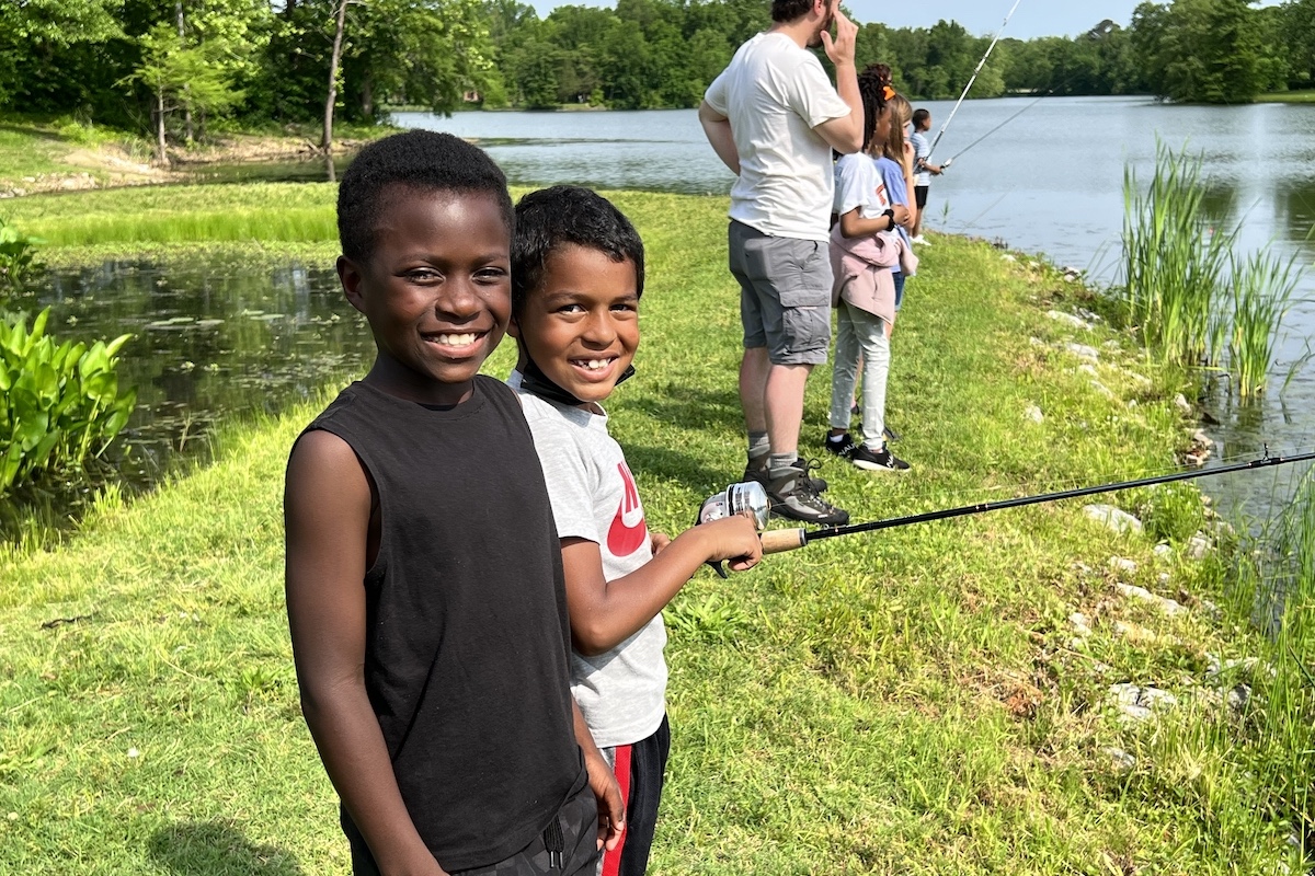
Photo by Michael R. Jeffords
In this series we examine Illinois state sites benefiting from sportsmen’s contributions through the Federal Aid in Wildlife Restoration (Pittman-Robertson or PR) program. One of the largest, and longest running, projects is the Statewide Public Lands Wildlife Habitat Development Project (W-76-D), designed to create wildlife habitat on public lands, provide facility access and recreation opportunities, and establish wildlife management demonstration areas for Illinois citizens.
Located in southernmost Illinois, Cache River State Natural Area’s (SNA) high-quality wetlands lie within an ancient glacial floodplain and includes massive cypress trees, some of which are more than 1,000 years old. These vast wetlands provide important food and resting resources for waterfowl and shorebirds, and in 1996 were designated a Ramsar Convention Wetland of International Importance. Due to the area’s ecological importance, the Cache River basin has been targeted for conservation by many entities including the Illinois Department of Natural Resources (IDNR), U. S. Fish and Wildlife Service and The Nature Conservancy.

Although the Cache River basin contains only 1.5 percent of Illinois’ total land area, within that area are 23 percent of the state’s high-quality barrens habitat, 11.5 percent of the high-quality floodplain forest, 91 percent of the high-quality swamp and 42 percent of the state’s shrub swamp. Those habitats support 99 species included on Illinois’ list of threatened and endangered species, and 107 species noted in the Illinois Wildlife Action Plan as Species in Greatest Need of Conservation.
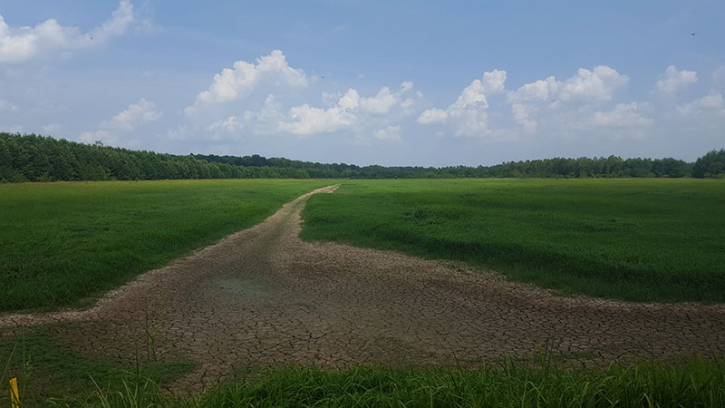
With more than 12,000 acres of huntable land at the Cache River SNA alone, staff have worked to improve hunter access and management through the placement of boundary signs, construction of informational kiosks, and establishment and maintenance of access trails and parking lots. The Little Black Slough hunting area consists of nearly 6,900 huntable acres composed of bottomland hardwood timber with permanent swamps. The more than 5,500 acres open to hunting on the Lower Cache River hunting area are predominately timbered, with scattered ponds, sloughs and swamps.
At Cache River SNA, a significant amount of the effort undertaken as a part of the Statewide Public Lands Wildlife Habitat Development Project (W-76-D) goes toward the development and enhancement of bottomland forest and wetland habitats.
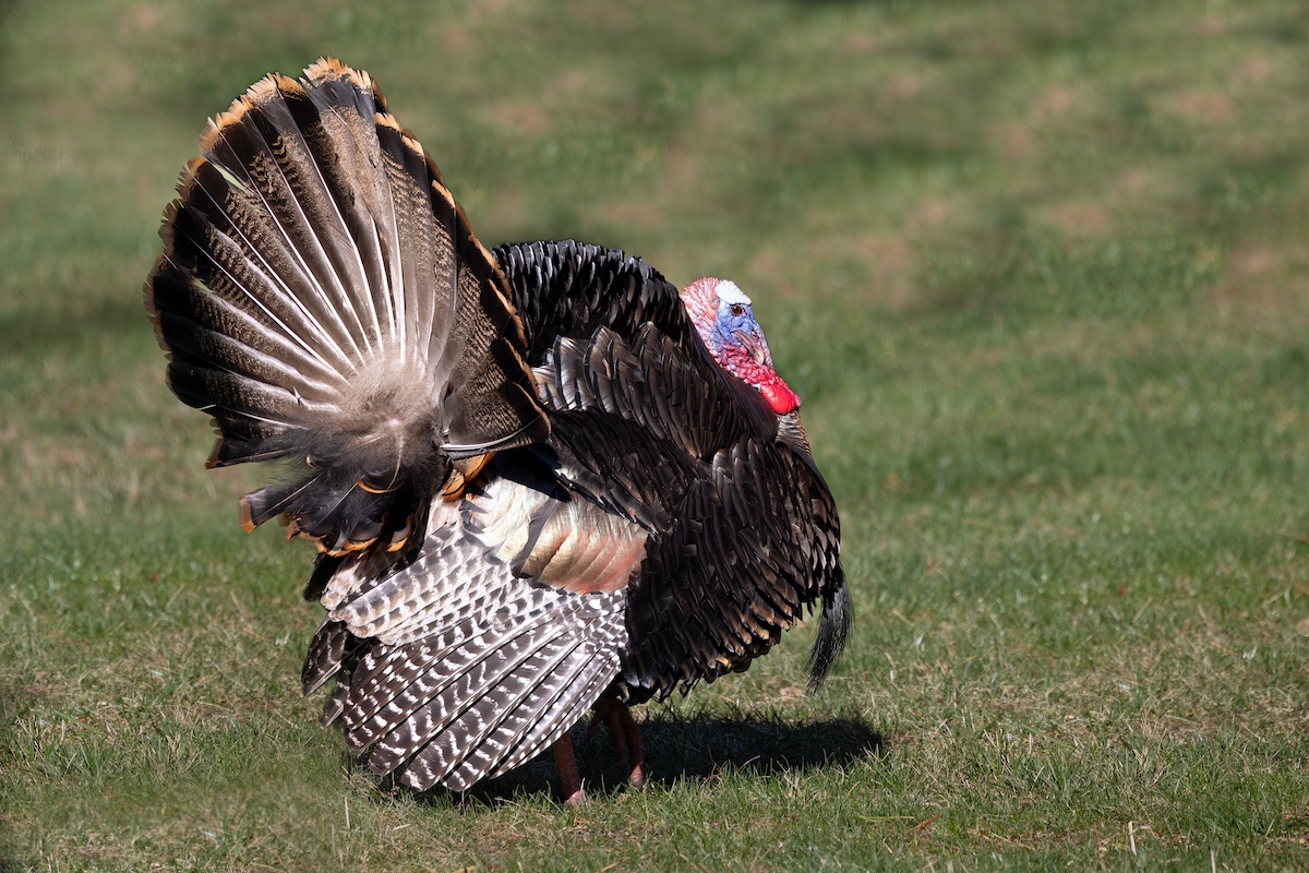
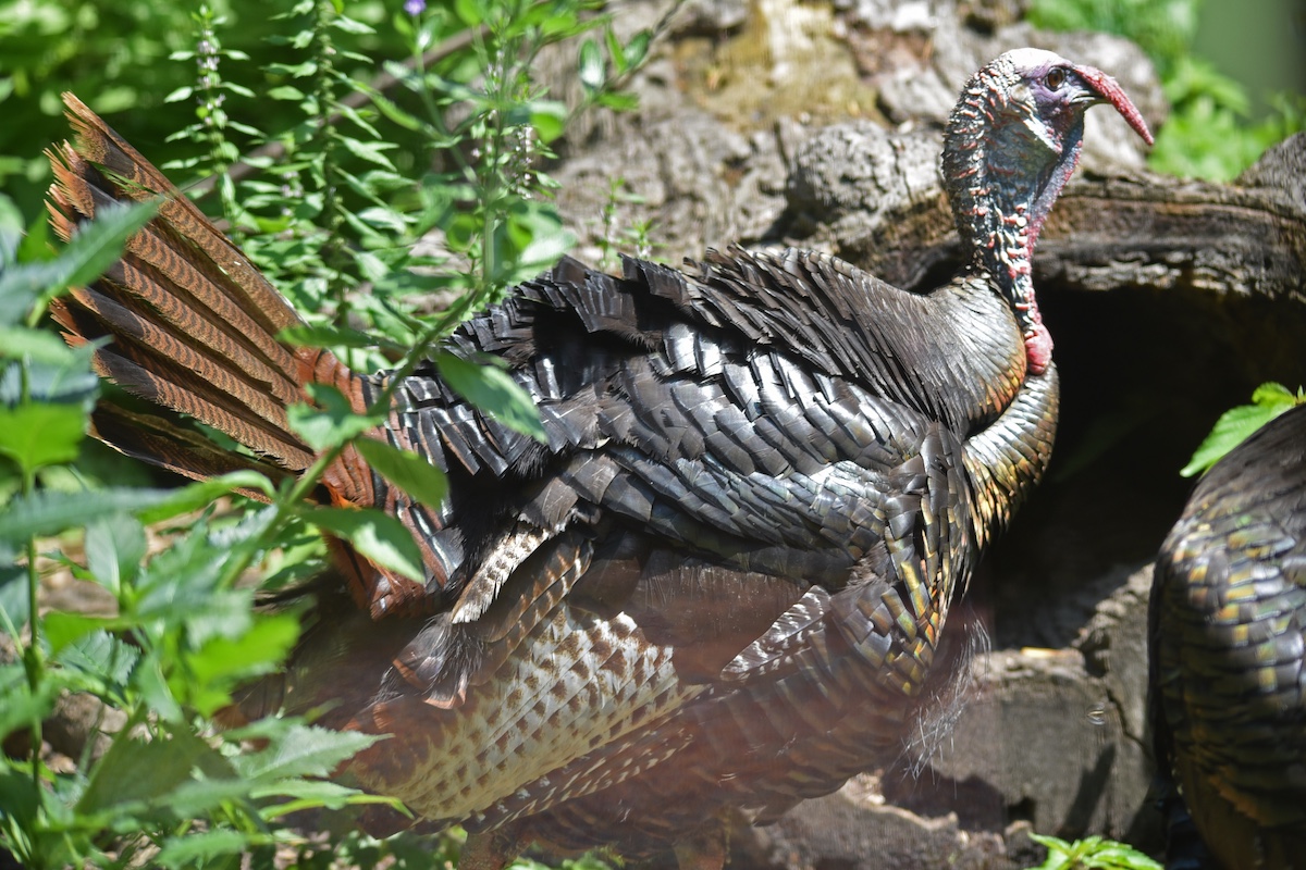
Reforestation of bottomland hardwood habitats focuses on planting of mesic species of oaks, such as the swamp white oak, which provides excellent mast fed on by ducks during wet periods and white-tailed deer, wild turkeys and squirrels during drier conditions.
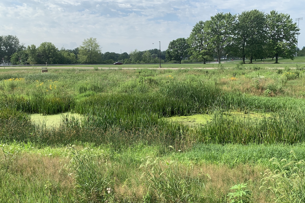
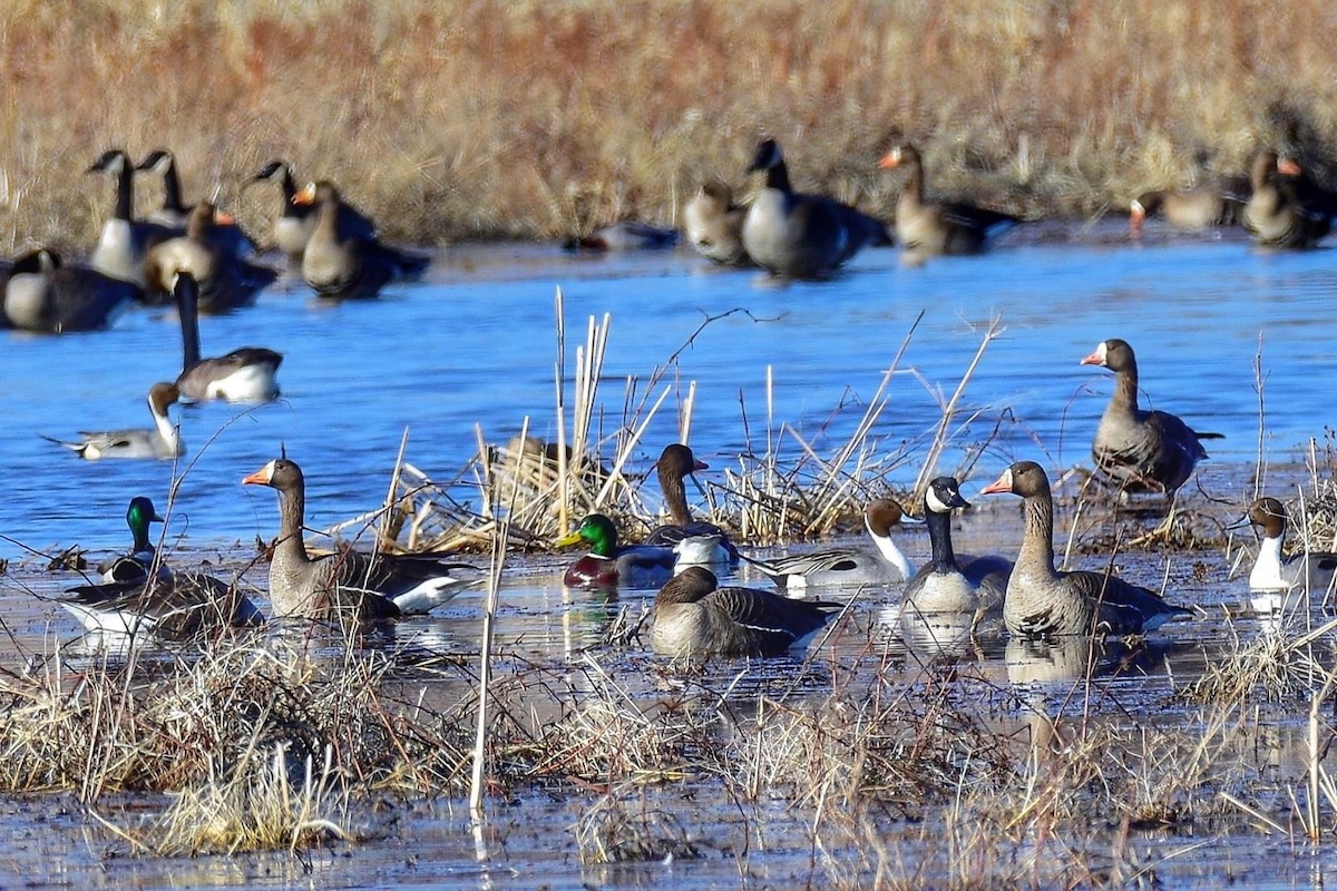
Creation and enhancement of moist-soil wetlands also has been an emphasis at the Cache. These areas, which would have naturally occurred in open areas of the floodplain, resulted from the natural hydrology of spring flooding and summer low-water periods. Thus, the ability to manipulate water levels in wetlands managed as moist-soil units maximizes the production of nutrient-rich foods beneficial to wildlife, especially waterfowl and shorebirds. Learn more about Wetlands Management here.
“Through the W-76-D project we have been able to shape levees and install water control structures that allow manipulation of water levels at critical times during the year,” explained IDNR District Wildlife Biologist Adam Phillips. “While some of the wetlands are passively managed through natural processes, allowing drought and precipitation to influence the ecosystem, where active management occurs water levels can be manipulated, allowing us to grow moist-soil plants, including annual grasses such as common millet and sprangletop, and broad-leaved forbs, such as smartweed.”

Moist-soil plant seeds are particularly high in proteins and lipids, providing waterfowl with nutrient-rich foods critical for success during the breeding season and to fuel migrations. They also are much higher in essential amino acids than typical agricultural grains.
“Moist-soil plants provide wildlife with more nutrition than corn and soybeans, which are high in carbohydrates,” Phillips continued. “Not only is the development of these food sources more cost-effective and less labor intensive, moist-soil plant seeds have a lower deterioration rate after flooding, which ensures wildlife food and cover resources remain longer, and the diverse mix of plants supports a protein-rich invertebrate community.” Additionally, a broad array of other wildlife species, from grassland birds to small mammals, use moist-soil wetlands during other portions of the year.
Most-soil wetland development isn’t a practice restricted to public lands, but something private landowners with the right infrastructures can develop. Programs exist to help conservation-minded private landowners develop these wetlands on their property for habitat and recreation. Two such programs are the U.S. Fish and Wildlife Services’ Partners for Fish and Wildlife program and a variety of conservation easement programs offered by the U.S.D.A. Natural Resources Conservation Service. Interested landowners can reach out to the IDNR https://www.dnr.illinois.gov/Pages/Feedback.aspx for information regarding wetland development opportunities.
Deer, dove, furbearers, rabbit, squirrel, wild turkey and waterfowl.
Habitats within the Cache River Basin

Critical Trends Assessment Project Phase II—Inventory of the Resource Rich Areas in Illinois, An Evaluation of Ecological Resources (1996)
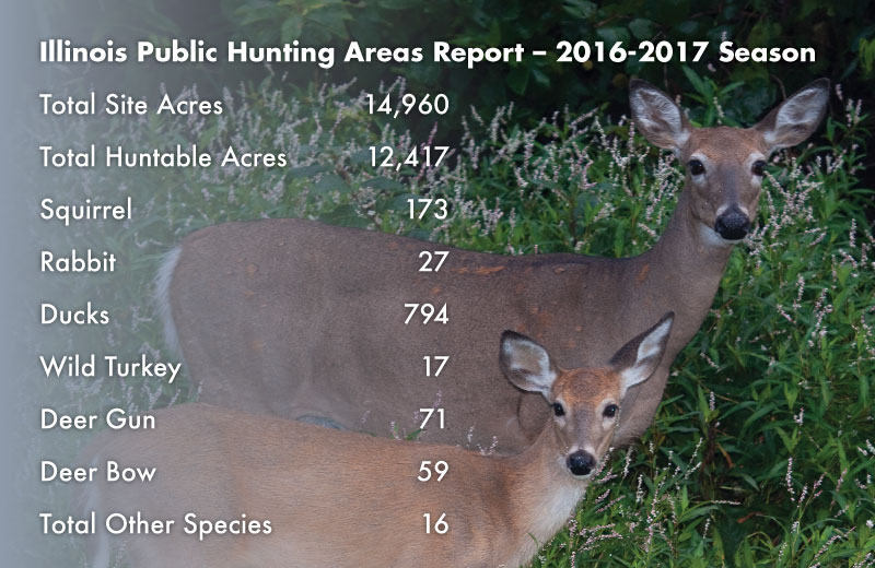
Statewide regulations govern hunting at the site.
https://www.dnr.illinois.gov/hunting/FactSheets/Pages/CacheRiver.aspx
About the Site

930 Sunflower Lane
Belknap IL 62908
(618) 657-2064
Counties: Johnson, Massac and Pulaski
Directions: The Cache River State Natural Area headquarters is located south of Whitehill on Illinois Route 37. The Little Black Slough hunting area is in Johnson County, 3 miles south of Vienna, lying roughly between Illinois Route 37 and U.S. Route 45. The Lower Cache River hunting area is in Johnson and Pulaski counties, generally running between the communities of Perks and Karnak along the Cache River.
N: 37.335
W: -88.938
Website: https://www.dnr.illinois.gov/parks/pages/cacheriver.aspx
Kathy Andrews Wright retired from the Illinois Department of Natural Resources where she was editor of OutdoorIllinois magazine. She is currently the editor of OutdoorIllinois Journal.


Submit a question for the author