


Boone LaHood, a fisheries biologist with the Illinois Department of Natural Resources (IDNR), stood in knee-deep water pulling the stake which secured a net at the shoreline, while Mack Sitzes (IDNR natural resource technician), in the boat, commented, “See that emergent plant, water willow, amongst which Boone is wading; it provides a good place for prey fish to hide and a good place for predator fish to hunt.”

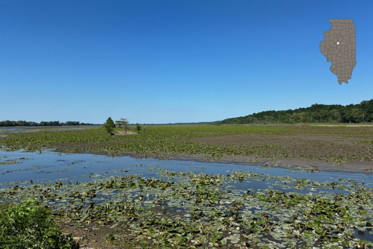
That scenario is exactly what the two fisheries scientists were counting on. At the lake of Sam Parr State Fish and Wildlife Area, near Newton, on September 15th and 16th, the predator fish which was being targeted for study were the crappie (Pomoxis spp.). Crappie feed upon smaller fish and aquatic invertebrates and actively hunt at dusk, often swimming through the shallow water column parallel to the shoreline, amongst the water willow (Justicia americana) if it is present.
To intercept the crappie during their crepuscular feeding period, fisheries biologists had secured net leads at water’s edge. Each lead (linear section) was positioned with floats keeping the net’s upper edge at water’s surface and weights keeping its bottom edge underwater so that the net draped through 3 feet of water column and ran away from shore.
With a mesh of one-half inch, the lead net poses as a barricade for fish of an adequate size. When encountering this net, a fish turns and swims adjacent to it. This net is situated at a slightly obtuse angle to the shoreline and ends at the trap portion of the net. Fish enter the funnel within the trap net through a rectangular-framed opening. The trap net consists of two funnels within hoops. It may be positioned up to 100 feet from shore, but the scientist may reduce that distance, 50 to 75 feet, typically, to prevent fish from being held below the thermocline where the deep oxygen-depleted water layer (hypolimnion) exists.

On September 16th LaHood and Sitzes checked the trap nets which had been installed the day before. At each of the ten locations along the lake’s shoreline, the scientists pulled in the net, opened the aperture at the end of the net, and allowed the fish to fall into a tank of water which had been pumped from the lake. Then, momentarily each fish became a fish out of water. If it were a crappie, it lay upon an electronic scale for weighing in grams and upon a bump board for measuring in millimeters and then slid through the air back into the water of lake. The bycatch, such as bluegill (Lepomis macrochirus) and gizzard shad (Dorosoma cepedianum), were only subjected to length measurements. Data about the fish’s species and measurements were recorded.
Environmental factors were also noted. To determine water clarity, LaHood lowered a Secchi disk (an 8-inch disk with alternating black and white quadrants, attached to metered rope) into the water and noticed the point at which it become not visible due to the water’s turbidity or cloudiness. An electronic device, a YSI water quality meter, allowed him to determine temperature, dissolved oxygen content and pH of the water. Weather data was also recorded.
To ascertain the status of a particular fish within the natural community of an aquatic habitat, the fisheries biologist will perform a targeted or species-specific analysis, such as this crappie survey, annually. To reduce variables, the analysis of the crappie population at Sam Parr Lake is held during the same week each year. Sam Parr Lake has three types of crappie: black crappie (P. nigromaculatus), white crappie (P. annularis) and naturally occurring hybrids of those two species.

Upon review of the data, the fisheries biologist will determine management strategies, such as the establishment of creel limits or size limits or the designation of no restrictions. Targeted surveys such as this crappie survey may also provide fisheries managers with information on the success of stocking efforts. He or she will submit suggestions to the Fisheries Management Committee within the IDNR Division of Fisheries.
For years, Patty Gillespie shared her enthusiasm for language and nature and got paid for it at a public school and at a nature center. Now she plays outdoors as often as she can and writes for the sheer joy of it.
Share this Article

Subscribe to our Newsletter
Explore Our Family of Websites




Submit a question for the author