
Photo by Michael R. Jeffords.


Photo by Michael R. Jeffords.
People have wondered how birds move across the continents for centuries. Early attempts to track the movements of birds included techniques still in use today, such as bird banding. Improvement in technology and the development of smaller and lighter batteries is now allowing researchers the ability to tag birds with a variety of devices that allow for the study of the places where birds nest, feed, rest and stopover during migration.
When determining what kind of tags to use, researchers consider what they want to learn, how large the study area will be, how long the birds will be tracked, and how big the bird is. Weight and cost are often the limiting factors. Tags should not cause the bird’s behavior to change, or limit their ability to nest, fly or feed, and researchers are often also trying to put tags on as many birds as possible, so cheaper tags are preferred.

For local questions, such as those covering a few counties, we can use traditional VHF (very high frequency) tags where each tag is on a unique frequency and we can send people out to look for them using a receiver and antennae, either by hand or attached to a truck. This is incredibly time intensive, often requiring people to be out searching day and night, seven days a week. If the bird leaves the area where people are looking, researchers will not know where it went. Still, VHF tags are powerful for local questions because they are relatively cheap and often extremely light weight, allowing for their use on a variety of species.
For large scale questions (one or more states in size), we can use a variety of tag that takes GPS points, often sent back to the researcher via satellites or the cell network. These tags are quite useful, but can be limited because they are relatively heavy, and quite expensive (one GPS tag often costs the same as 8 to 10 VHF tags). For smaller species, and for projects where tagging more birds would help us better answer our scientific question, another method is needed.
Over the past 10-plus years a network called Motus has been established across the Western Hemisphere, especially in the eastern United States and Canada. Motus towers do automated radio telemetry, which in many ways is like VHF tags except they are all on the same frequency with each tag beeping in a unique pattern. Whenever a tagged bird flies by a tower the signal is recorded, and the data is sent to the researchers. Whether the tower is in Illinois or Wisconsin or Louisiana, if a tagged bird flies by the tower researchers know when the bird was there, allowing for their migratory movements to be tracked. These tags are smaller and lighter than GPS tags, allowing for their use on smaller birds. Motus tags are also much cheaper. Approximately 10 birds can be tagged with Motus tags for the price of one GPS tag.

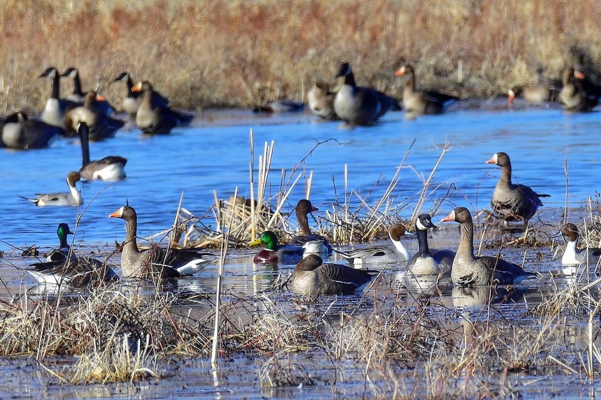
Forbes Biological Station is currently putting Motus tags on several species of wetland birds to better understand if the towers can be used to answer not only local questions but landscape-scale questions. In the fall of 2020, several wood ducks and least bitterns were tagged. The most abundant breeding duck across Illinois, wood ducks nest in cavities in trees and in nest boxes. An Illinois-threatened wetland bird, least bitterns nest in cattail stands, weaving platform nests above standing water. In the spring of 2021 sora and Virginia rails will be tagged. Both are game species in the state, present primarily during migration although a handful nest in the state each summer. All four species are migratory, meaning they travel annually from Illinois to somewhere else, following good weather and food resources.

Our first year tagging goal is to better understand how well the automated radio telemetry towers detect the birds when they are within the wetland vegetation. We know birds will be detected when flying, but the question exists if birds feeding, nesting or roosting within the vegetation can be detected. If detectable, tags and towers can be used to answer a wider range of questions.
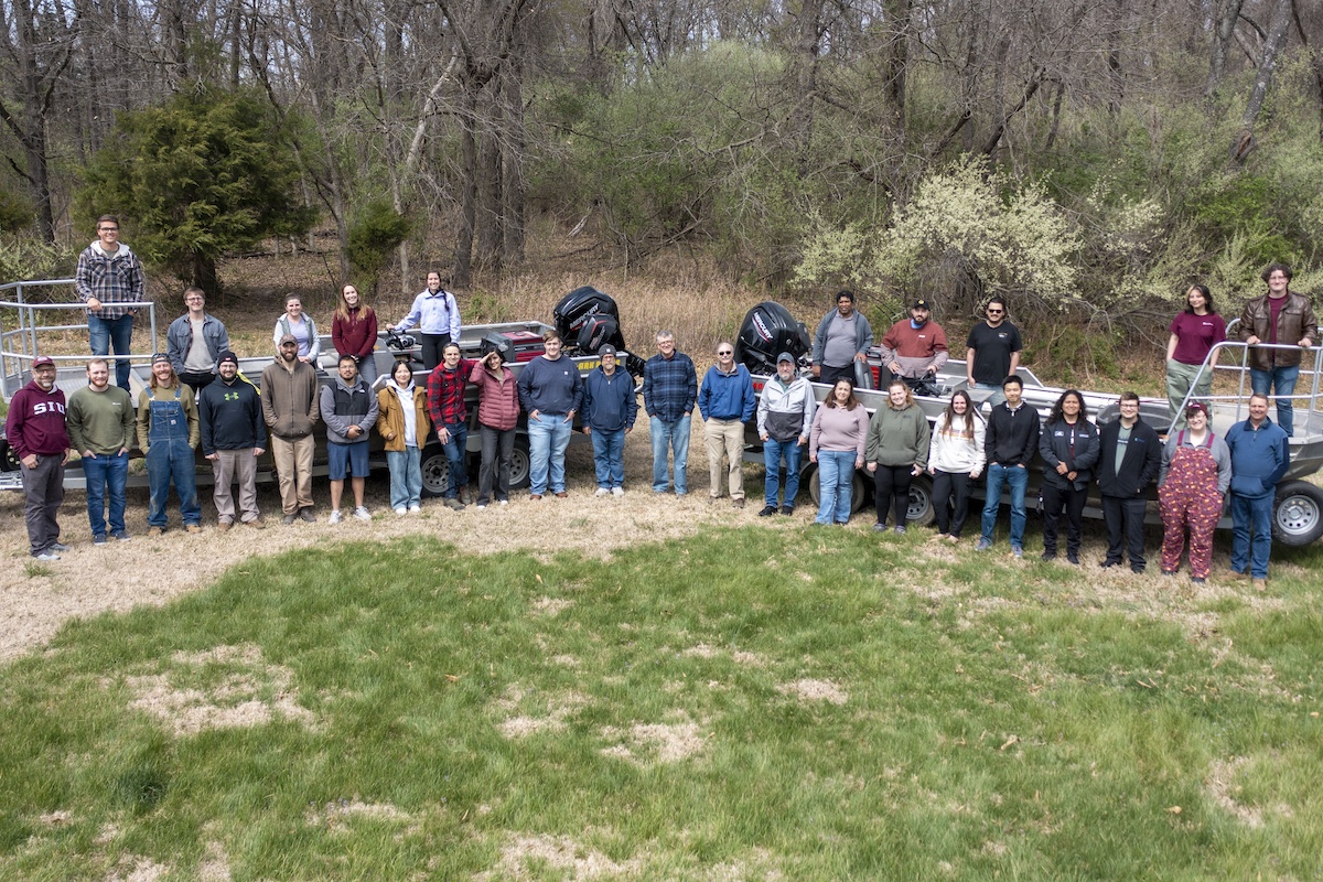
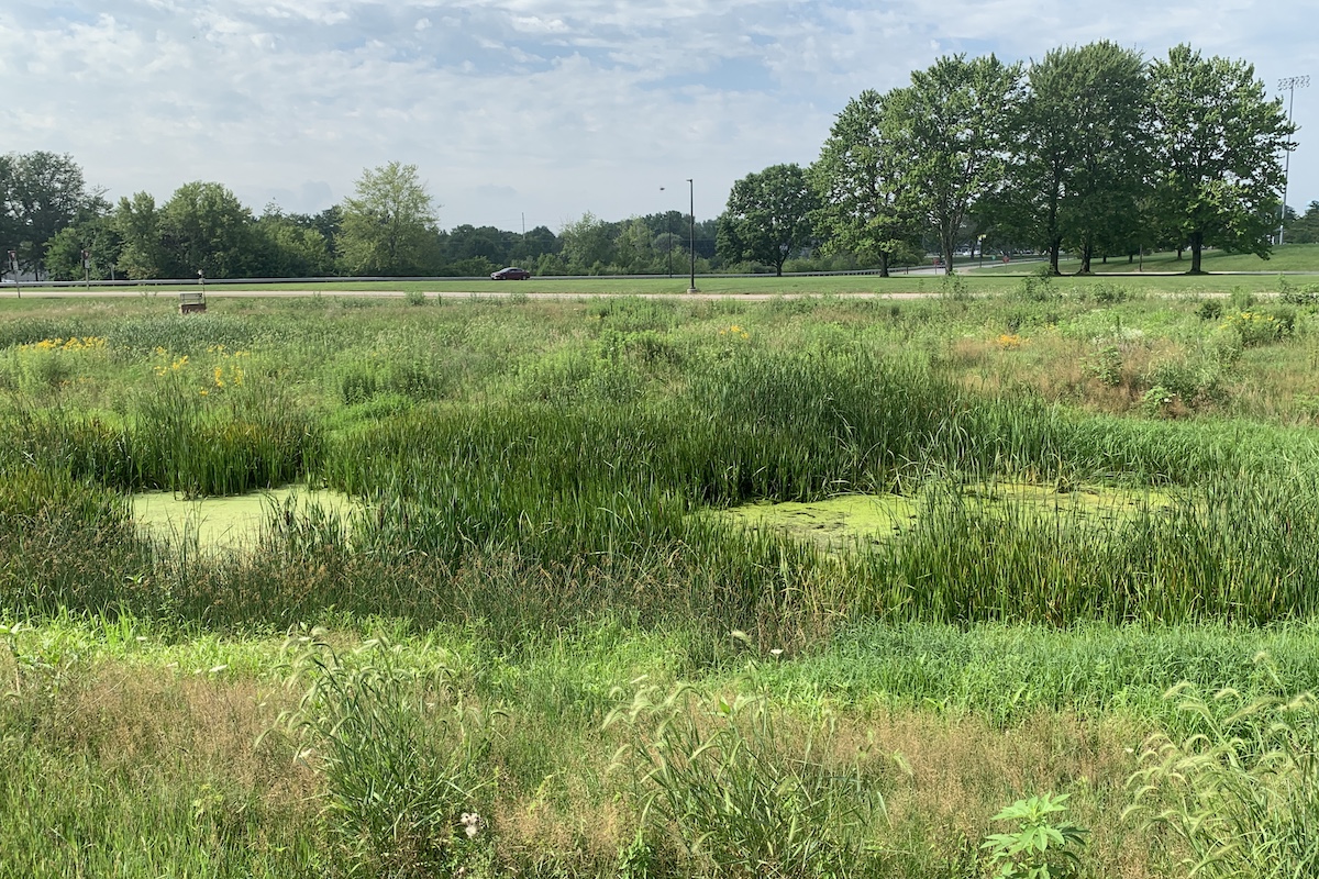
Broadly speaking, the Forbes Biological Station focuses on studying waterfowl and other wetland birds within the Illinois River Valley, and elsewhere in Illinois, to better understand what wetlands they use, and how public wetlands can be better managed to provide birds with high quality habitat for nesting and during migration. We are excited to be adding another tool to our toolbox of options for studying these birds and how they use Illinois wetlands.
Auriel M.V. Fournier is the Director Forbes Biological Station, Illinois Natural History Survey.


Submit a question for the author