
Photos by Michael R. Jeffords.


Photos by Michael R. Jeffords.
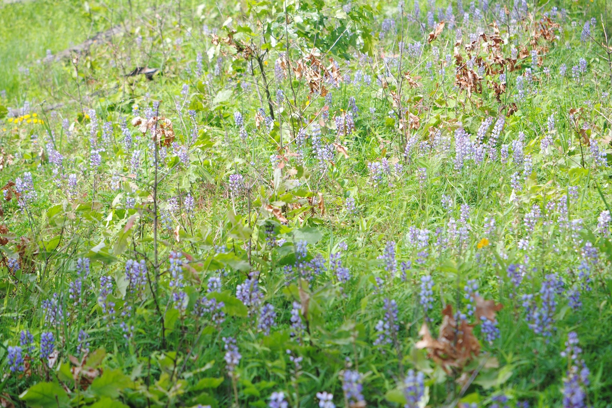
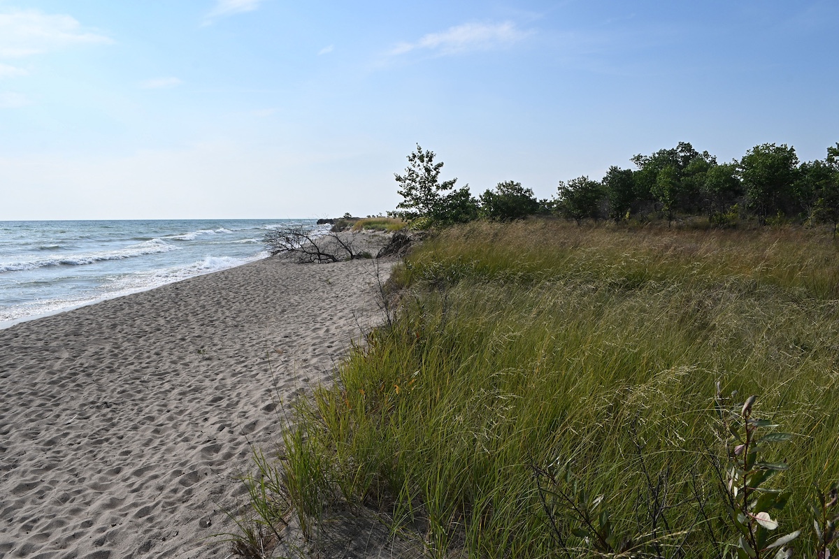
Since the early 1800s, naturalists and scientists have traversed the Illinois landscape, noting differences in the flora and fauna and the profound impact the series of glacial events had on the Illinois landscape. Although the pre-settlement landscape of Illinois was predominantly 60 percent prairie and 40 percent woodland, unique differences were discovered. Traipsing through southern Illinois wetlands they recorded swamps where bald cypress and tupelo gum flourished while in northern Illinois, pitcher plants and tamaracks grew in quaking bogs. Along the wooded banks of the Wabash River in southeastern Illinois, beech and tulip trees towered 120 feet overhead and elsewhere stunted oaks claimed a tenuous foothold on limestone glades. They noted a vast sea of prairie grasses and forbs in central Illinois, and yet on close examination unique subsets of prairies were identified—some were wet while others were mesic or dry; some sprung from openings atop high, rocky bluffs while others existed in soils composed of gravel or sand. They recorded sand dunes adjacent to Lake Michigan and an island of sand seemingly oddly erupting in the black soil prairie landscape. Water-carved bedrock formed caves and canyons and sinkholes. The more the Illinois landscape was studied the more unique it became.

In 1973, after extensively reviewing a vast accumulation of scientific records prepared by botanists, zoologists, geologists and other scientists, and crisscrossing the state himself, then Illinois Department of Conservation botanist John Schwegman led the effort to publish The Natural Divisions of Illinois. The publication reviewed regional similarities—and vast differences—in the topography, soils, bedrock, glacial history and plants and animals. The resultant classification scheme identified that Illinois contains 14 natural divisions, plus Lake Michigan, and that many divisions have one or more distinct subunits that are referred to as sections.
The most foundational use of the natural divisions classification system took place from 1976 to 1978 with the development of the Illinois Natural Areas Inventory (INAI). As scientists combed the state during the INAI, they cataloged a list of the highest quality remaining natural areas in the state, categorizing each by the natural division and section in which they occurred. With this information, the now Illinois Department of Naturals Resources’ Division of Natural Heritage and the Illinois Nature Preserves Commission launched efforts to permanently protect and manage as many of these sites as possible to preserve Illinois’s natural heritage. That effort continues today as the portfolio of protected sites within each natural division grows to adequately represents the character of the landscape encountered by the first settlers.

Beginning in 1986, the Illinois Department of Natural Resources’ Division of Natural Heritage, in conjunction with The Nature Conservancy, established the Illinois Natural Heritage Database as the repository for data gathered during the Illinois Natural Areas Inventory, with the database kept up-to-date as new information is collected. The classification system was the foundation for development of the Illinois Wildlife Action Plan and guides numerous conservation efforts today, including the State Wildlife Grant Program.
The natural divisions of Illinois classification system put Illinois in the forefront of the Nation in terms of the preservation and protection of remnants of natural ecosystems and continues to serve as the foundation for programs almost 50 years later. Stay tuned for a story series that explores the unique variations—biologic and geologic—in the natural landscape of Illinois.


Kathy Andrews Wright retired from the Illinois Department of Natural Resources where she was editor of OutdoorIllinois magazine. She is currently the editor of OutdoorIllinois Journal.


Submit a question for the author