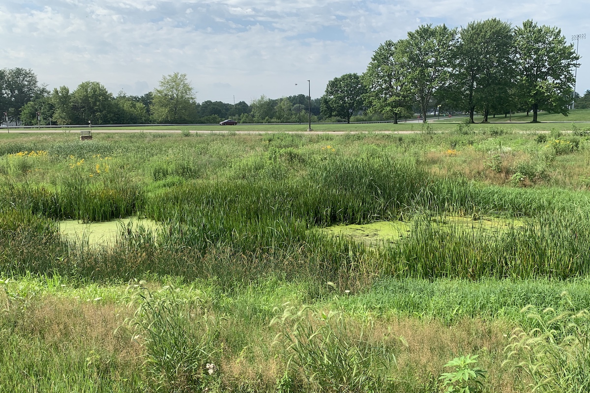
Many wetlands go dry during drought periods and some can even go dry during normal conditions. Photo courtesy of John O’Connell.


Many wetlands go dry during drought periods and some can even go dry during normal conditions. Photo courtesy of John O’Connell.
Our collaborative project with Southern Illinois University and the University of Illinois seeks to estimate when and where there is inundation (surface water) in Illinois’ wetlands. Surprisingly, not all wetlands are always wet lands.
When we hear “wetland,” each of us probably has a different image pop into our head. Illinois boasts a wide variety of wetlands including the cypress swamps of the Cache River; large marshes along the Illinois River; wet prairies at Midewin National Tallgrass Prairie; and rivers, ponds and lakeshores dotting the state from border to border. One common theme in almost everyone’s image of a wetland, though: water.

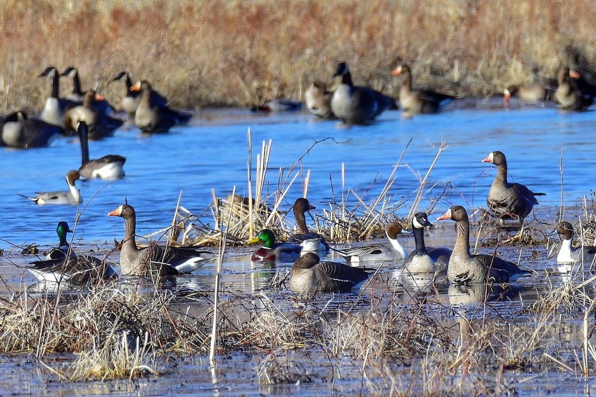
We also have a great many migratory and resident bird species that use wetlands in Illinois: wading birds, waterfowl, shorebirds, secretive marsh birds and others. One common theme for all of those: water. Birds in these groups not only rely on wetlands, but they rely on those wetlands having water when they are trying to use those areas.
Surprisingly, wetlands don’t always have water. The cycle of dry and wet periods can have a strong influence on nutrient availability, plant growth, and other critical wetland processes, so it would not be wise to have all of Illinois’ wetlands inundated, or covered with water, all of the time. Instead, we need to have a good understanding of which wetlands are inundated and when so that we can properly plan wetland conservation and management for those bird groups that rely on inundated wetlands.

We have a decent idea of where wetlands are located; maps such as the National Wetlands Inventory catalog the locations and types of wetlands across the United States, even offering some information about how often each wetland is likely to be inundated. It is a starting point, but the Inventory is mostly based on decades-old aerial photographs, which aren’t perfect for finding wetlands in some areas, and it also has not kept up with all of the changes to the landscape in recent years. Further, it does not tell us when each wetland will be inundated, just how frequently we think, based on the photographs, each wetland will be inundated. We still need other resources to figure out the timing.
Thanks to the work of hydrologists and climatologists, supported by extensive monitoring systems, we also have a pretty good idea of when and where rivers flood or large lakes rise and fall. That said, we do not have extensive monitoring systems on wetlands across the state because there are just too many and they vary widely in size.
Enter our project. We are working to create maps of wetland inundation for the entire state of Illinois during the migratory and nesting periods of wetland-dependent birds. The project is supported largely by the Federal Aid in Wildlife Restoration Act, which is administered in the state by the Illinois Department of Natural Resources. In this case, the funding was granted as part of the Wetlands Campaign of the Illinois Wildlife Action Plan and the results will help guide wetland management and restoration decisions in the state.
You may be thinking “but how could they possibly map all of the wetlands in the state all the time?” And you’re right—that would be impossible. Despite Illinois experiencing heavy wetland losses upwards of 80 percent due to land use changes, our state currently has more than 1.7 million acres of wetlands. Surveying each wetland is just not feasible; we had to come up with another solution.
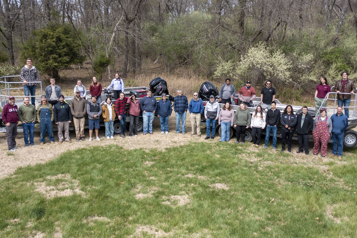
Using boats, canoes, waders, trucks and a lot of boots, we mapped where the water was in as many wetlands across the state as we possibly could for about six months per year (mid-February through April, May through June, and August through September) for three years (2015-2017). To increase the amount of wetlands that we could survey, we collaborated with Abigail Blake-Bradshaw and Heath Hagy from the Illinois Natural History Survey. They were examining wetland suitability for waterbirds in Illinois as part of a companion project for her master’s research. Our field team collected data for her project and her field team collected data for ours, effectively doubling our survey effort.

It was tough work, starting near ice-out in February and persisting through the heat and mosquitoes into late summer, but our crew carried on and collected an enormous amount of useful data. We were able to sample both public and private wetlands thanks to the generous cooperation of hundreds of private landowners and multiple government agencies.
What have we found? We found that at any given time, with few exceptions, only about half of the wetlands in Illinois are inundated. Also, less than half of the forested and emergent (non-woody vegetation) wetlands were typically inundated. That is vital information because those wetland types are often the most important for meeting the habitat requirements for those wetland-dependent bird groups such as providing food and cover from predators.
Those results are based only on the wetlands that were mapped in-person by our team and the INHS team. Next, we need to estimate results for all of the state’s wetlands. We plan to do that using two technologies.
First, we will use satellite imagery to see which wetlands were inundated during our study period. Satellite imagery allows us to see a much larger picture than what we can cover on the ground. Those ground surveys are still important though because they can be used to verify that what we think we see in the imagery was actually there. This is commonly referred to as “ground-truthing.” The classified satellite images will cover large swaths of the state, but will not cover all of the state, all of the time.

To fill in the gaps, we will use a second technology: machine learning. Models built on machine learning methods can “learn” how to predict classifications based on prior information. We will “train” the models where to expect inundation based on the ground survey data. Then, the model will use river gauges, weather data, topography, geology and land-cover information to predict if wetlands that we didn’t survey on the ground or with imagery were inundated during the study period. The model also predicts inundation where we already know if wetlands were inundated or not, so we can compare those predictions to the facts to verify the accuracy of the model.
We aim to produce maps of the state for every month of the study periods mentioned earlier. Those maps will be used to guide decisions on wetland restoration and management to optimize wetland availability for the wetland-dependent bird groups. The maps may prove useful for planning other wetland ecosystem services, such as water storage, flood abatement and recreation.
John O’Connell is a Ph.D. candidate in the Cooperative Wildlife Research Laboratory (CWRL) at Southern Illinois University. He earned his master’s degree at Florida Institute of Technology.
Michael Eichholz is a waterfowl/wetland ecologist in the Cooperative Wildlife Research Laboratory (CWRL) and a Professor in the School of Biological Sciences at SIU. He earned his Ph.D. at the University of Alaska – Fairbanks.


Submit a question for the author